Transport Functions
Port
Rail
Road
Multimodal
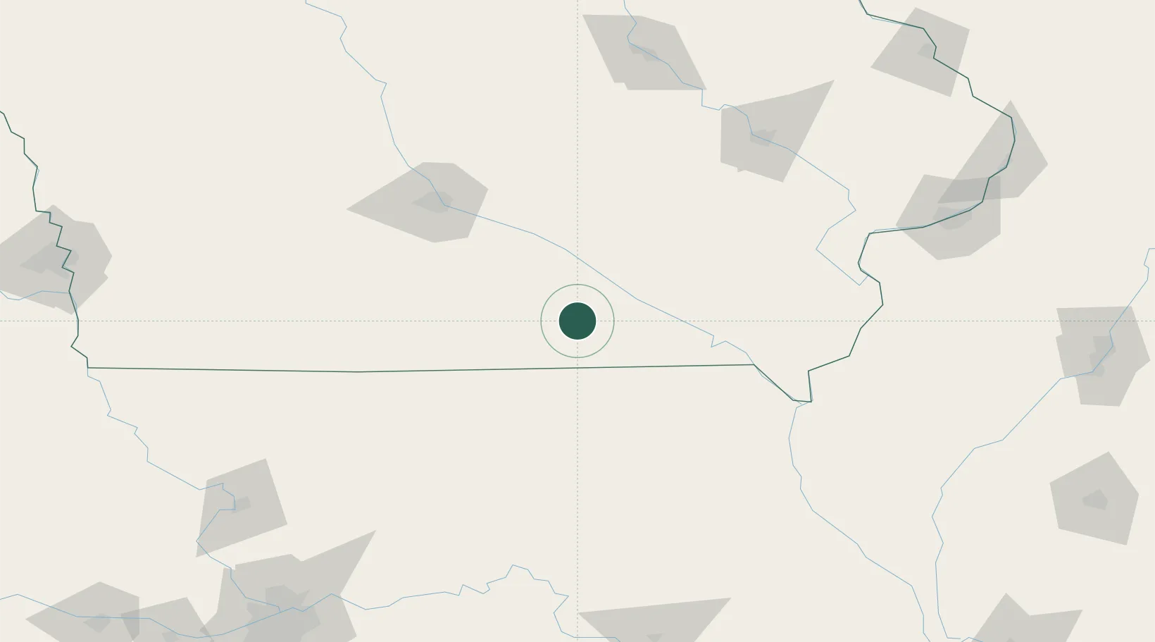
Hub Profile
Place type
Populated place
Region
Iowa
Population
643
Time zone
America/Chicago
Elevation
303 m
Location
Nearby Logistics Neighbours
Cities
- 1Corydon, Wayne47 km
- 2Unionville48 km
- 3Fremont48 km
- 4Harvey49 km
- 5Dallas52 km
Ports
- 1Great Lakes442 km
- 2Waukegan446 km
- 3Wilmette447 km
- 4Chicago448 km
- 5Calumet Harbor451 km
Airports
Trade Zones
- 1FTZ No. 107 Polk County116 km
- 2FTZ No. 055 Burlington143 km
- 3FTZ No. 175 Cedar Rapids146 km
- 4FTZ No. 017 Kansas City265 km
- 5FTZ No. 271 Jo-Daviess and Carroll Counties266 km
DatabookThe Record of Consolidated Knowledge
United States beyond logistics?