Transport Functions
Rail
Road
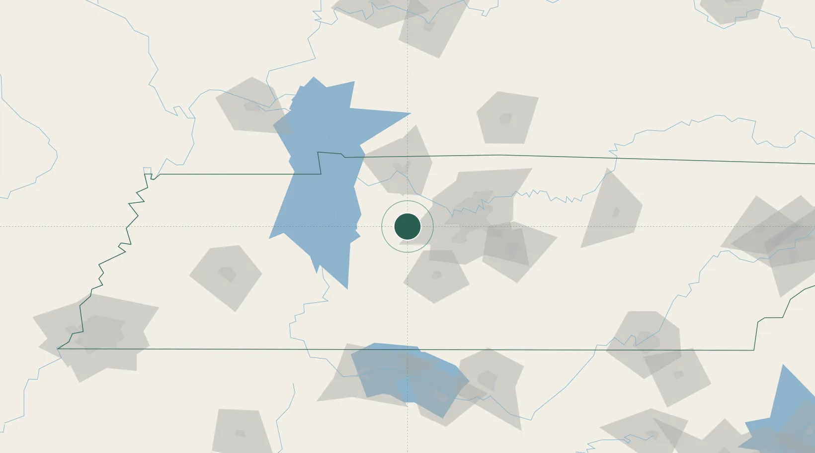
Hub Profile
Place type
Populated place
Region
Tennessee
Population
1,473
Time zone
America/Chicago
Elevation
244 m
Location
Nearby Logistics Neighbours
Cities
- 1Dickson8 km
- 2Liberty Hill, Williamson13 km
- 3Bon Aqua13 km
- 4Lyles15 km
- 5Kingston Springs17 km
Ports
- 1Port Of Memphis281 km
- 2Gary619 km
- 3Indiana Harbor625 km
- 4Calumet Harbor632 km
- 5Michigan City633 km
Airports
Trade Zones
- 1FTZ No. 078 Nashville26 km
- 2FTZ No. 265 Conroe (Montgomery County)157 km
- 3FTZ No. 270 Lawrence County161 km
- 4FTZ No. 294 Western Kentucky161 km
- 5FTZ No. 083 Huntsville164 km
DatabookThe Record of Consolidated Knowledge
United States beyond logistics?