UN/LOCODE hub · United States
USCA3

Chatham

41.6667°, -69.9333°
1,421
Population
1
Transport functions

Transport Functions

Port
UN/LOCODE

Hub Profile

Place type
Populated place
GeoNames
Region
Massachusetts
GeoNames
Population
1,421
GeoNames
Time zone
America/New_York
GeoNames
Elevation
4 m
GeoNames

Location

Location of USCA3
Natural Earth 10m (public domain) · Massachusetts · USCA3 · 41.67, -69.93GoogleOSMYandex

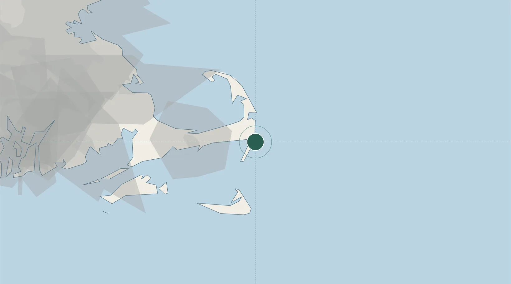
Nearby Logistics Neighbours

Cities
  1. 1Orleans14 km
  2. 2Brewster17 km
  3. 3South Yarmouth21 km
  4. 4North Eastham23 km
  5. 5Yarmouth25 km
Nearest neighbours — logibook spatial index (haversine) over the source coordinates
Ports
  1. 1Hyannis29 km
  2. 2Nantucket45 km
  3. 3Provincetown47 km
  4. 4Edgartown57 km
  5. 5Falmouth58 km
Nearest neighbours — logibook spatial index (haversine) over the source coordinates
Airports
  1. 1Cape Cod Gateway Airport29 km
  2. 2Nantucket Memorial Airport47 km
  3. 3Martha's Vineyard Airport64 km
  4. 4New Bedford Regional Airport85 km
  5. 5Newport State Airport113 km
Nearest neighbours — logibook spatial index (haversine) over the source coordinates
Trade Zones
  1. 1FTZ No. 028 New Bedford88 km
  2. 2FTZ No. 027 Boston121 km
  3. 3FTZ No. 105 Providence and North Kingstown127 km
  4. 4FTZ No. 081 Portsmouth172 km
  5. 5FTZ No. 208 New London183 km
Nearest neighbours — logibook spatial index (haversine) over the source coordinates
DatabookThe Record of Consolidated Knowledge
United States beyond logistics?
Browse databook

All Sources

LocationsUN/LOCODE
UN/LOCODE — free
LocationsGeoNames
CC BY 4.0
Portsthe NGA World Port Index
Public domain (US gov)
AirportsOurAirports
Public domain
Trade Zonesthe World Bank SEZ database
CC BY 4.0
Trade ZonesOpen Zone Map
CC BY
← United States locations