Transport Functions
Road
Multimodal
Hub Profile
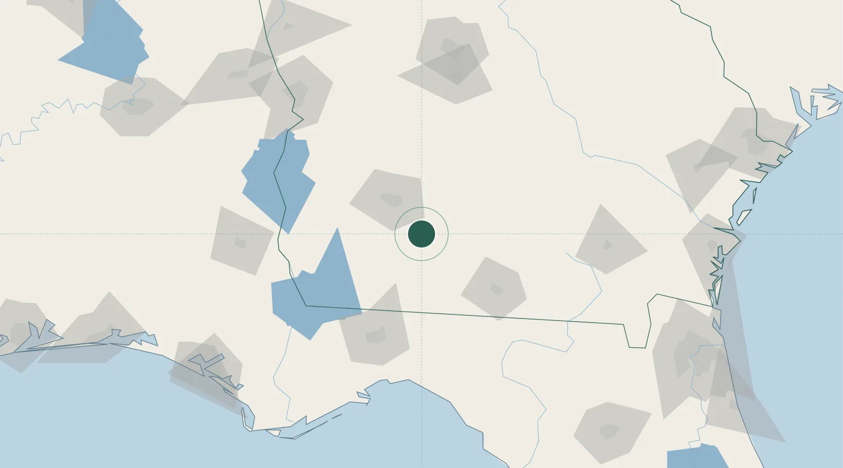
Place type
Populated place
Region
Georgia
Population
773
Time zone
America/New_York
Elevation
119 m
Location
Nearby Logistics Neighbours
Cities
- 1Anderson City8 km
- 2Norman Park23 km
- 3Sumner28 km
- 4Coolidge36 km
- 5Sycamore47 km
Ports
- 1Carrabelle178 km
- 2Apalachicola205 km
- 3Panama City212 km
- 4Port St Joe214 km
- 5Brunswick231 km
Airports
Trade Zones
- 1FTZ No. 233 Dothan144 km
- 2FTZ No. 065 Panama City214 km
- 3FTZ No. 064 Jacksonville216 km
- 4FTZ No. 144 Brunswick230 km
- 5FTZ No. 222 Montgomery255 km
DatabookThe Record of Consolidated Knowledge
United States beyond logistics?