UN/LOCODE hub · United States
USDKH

Old Rock Hill

31.0000°, -83.5667°
2
Transport functions

Transport Functions

Port
Multimodal
UN/LOCODE

Hub Profile

Place type
Populated place
GeoNames
Region
Georgia
GeoNames
Time zone
America/New_York
GeoNames
Elevation
71 m
GeoNames

Location

Location of USDKH
Natural Earth 10m (public domain) · Georgia · USDKH · 31.00, -83.57GoogleOSMYandex

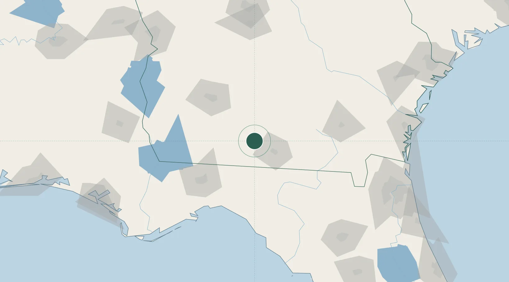
Nearby Logistics Neighbours

Cities
  1. 1Coolidge29 km
  2. 2Boston30 km
  3. 3Norman Park32 km
  4. 4Lakeland48 km
  5. 5Doerun49 km
Nearest neighbours — logibook spatial index (haversine) over the source coordinates
Ports
  1. 1Carrabelle166 km
  2. 2Apalachicola197 km
  3. 3Brunswick198 km
  4. 4Jacksonville199 km
  5. 5Fernandina Beach204 km
Nearest neighbours — logibook spatial index (haversine) over the source coordinates
Airports
  1. 1Moody Air Force Base36 km
  2. 2Valdosta Regional Airport37 km
  3. 3Southwest Georgia Regional Airport84 km
  4. 4Tallahassee International Airport101 km
  5. 5Robins Air Force Base182 km
Nearest neighbours — logibook spatial index (haversine) over the source coordinates
Trade Zones
  1. 1FTZ No. 064 Jacksonville170 km
  2. 2FTZ No. 233 Dothan179 km
  3. 3FTZ No. 144 Brunswick198 km
  4. 4FTZ No. 065 Panama City226 km
  5. 5FTZ No. 104 Savannah264 km
Nearest neighbours — logibook spatial index (haversine) over the source coordinates
DatabookThe Record of Consolidated Knowledge
United States beyond logistics?
Browse databook

All Sources

LocationsUN/LOCODE
UN/LOCODE — free
Portsthe NGA World Port Index
Public domain (US gov)
AirportsOurAirports
Public domain
Trade Zonesthe World Bank SEZ database
CC BY 4.0
Trade ZonesOpen Zone Map
CC BY
← United States locations