UN/LOCODE hub · United States
USDIC

Madison

30.4667°, -83.4167°
2,880
Population
3
Transport functions

Transport Functions

Rail
Road
Multimodal
UN/LOCODE

Hub Profile

Place type
Provincial seat
GeoNames
Region
Florida
GeoNames
Population
2,880
GeoNames
Time zone
America/New_York
GeoNames
Elevation
59 m
GeoNames

Location

Location of USDIC
Natural Earth 10m (public domain) · Florida · USDIC · 30.47, -83.42GoogleOSMYandex

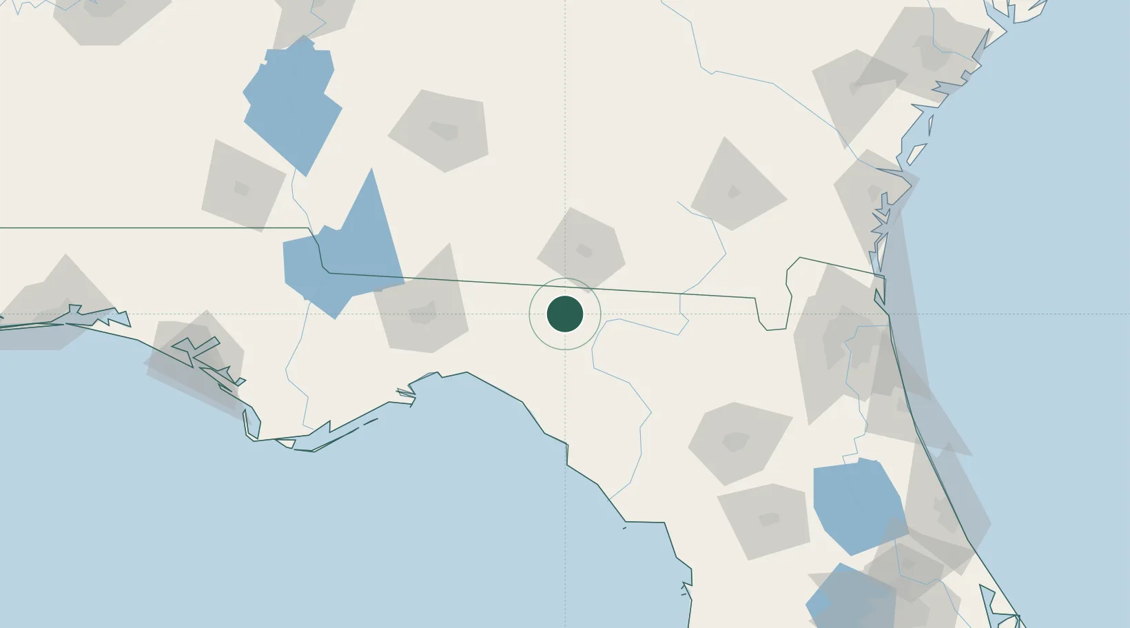
Nearby Logistics Neighbours

Cities
  1. 1Lee13 km
  2. 2Boston51 km
  3. 3Houston55 km
  4. 4McAlpin58 km
  5. 5Old Rock Hill61 km
Nearest neighbours — logibook spatial index (haversine) over the source coordinates
Ports
  1. 1Carrabelle138 km
  2. 2Jacksonville170 km
  3. 3Apalachicola172 km
  4. 4Fernandina Beach188 km
  5. 5Mayport190 km
Nearest neighbours — logibook spatial index (haversine) over the source coordinates
Airports
  1. 1Valdosta Regional Airport38 km
  2. 2Moody Air Force Base60 km
  3. 3Tallahassee International Airport90 km
  4. 4Southwest Georgia Regional Airport140 km
  5. 5Gainesville Regional Airport140 km
Nearest neighbours — logibook spatial index (haversine) over the source coordinates
Trade Zones
  1. 1FTZ No. 064 Jacksonville140 km
  2. 2FTZ No. 144 Brunswick198 km
  3. 3FTZ No. 233 Dothan210 km
  4. 4FTZ No. 065 Panama City225 km
  5. 5FTZ No. 198 Volusia County249 km
Nearest neighbours — logibook spatial index (haversine) over the source coordinates
DatabookThe Record of Consolidated Knowledge
United States beyond logistics?
Browse databook

All Sources

LocationsUN/LOCODE
UN/LOCODE — free
LocationsGeoNames
CC BY 4.0
Portsthe NGA World Port Index
Public domain (US gov)
AirportsOurAirports
Public domain
Trade Zonesthe World Bank SEZ database
CC BY 4.0
Trade ZonesOpen Zone Map
CC BY
← United States locations