Transport Functions
Rail
Road
Hub Profile
Place type
Provincial seat
Region
Virginia
Population
1,249
Time zone
America/New_York
Elevation
141 m
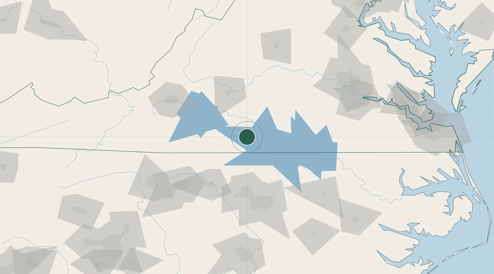
Location
Nearby Logistics Neighbours
Cities
- 1Crystal Hill9 km
- 2Clover, Halifax18 km
- 3Alton23 km
- 4Sutherlin29 km
- 5Brookneal32 km
Ports
- 1Richmond158 km
- 2West Point206 km
- 3Fredericksburg214 km
- 4Washington215 km
- 5Plymouth218 km
Airports
Trade Zones
- 1FTZ No. 093 Raleigh Durham96 km
- 2FTZ No. 230 Piedmont Triad Area128 km
- 3FTZ No. 207 Richmond147 km
- 4FTZ No. 238 Dublin163 km
- 5FTZ No. 214 Lenoir County195 km
DatabookThe Record of Consolidated Knowledge
United States beyond logistics?