Transport Functions
Multimodal
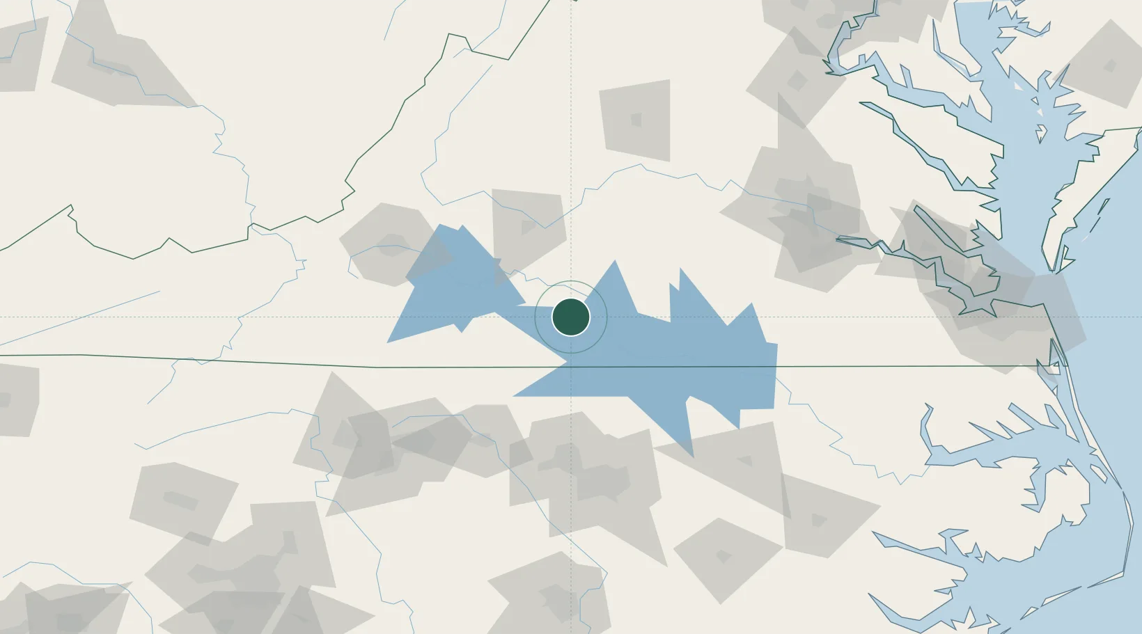
Hub Profile
Place type
Populated place
Region
Virginia
Time zone
America/New_York
Elevation
171 m
Location
Nearby Logistics Neighbours
Cities
- 1Halifax9 km
- 2Clover, Halifax15 km
- 3Brookneal22 km
- 4Harrisburg24 km
- 5Alton33 km
Ports
- 1Richmond152 km
- 2West Point201 km
- 3Fredericksburg206 km
- 4Yorktown217 km
- 5Newport News220 km
Airports
Trade Zones
- 1FTZ No. 093 Raleigh Durham105 km
- 2FTZ No. 230 Piedmont Triad Area134 km
- 3FTZ No. 207 Richmond140 km
- 4FTZ No. 238 Dublin162 km
- 5FTZ No. 185 Culpeper County198 km
DatabookThe Record of Consolidated Knowledge
United States beyond logistics?