UN/LOCODE hub · United States
USYHS
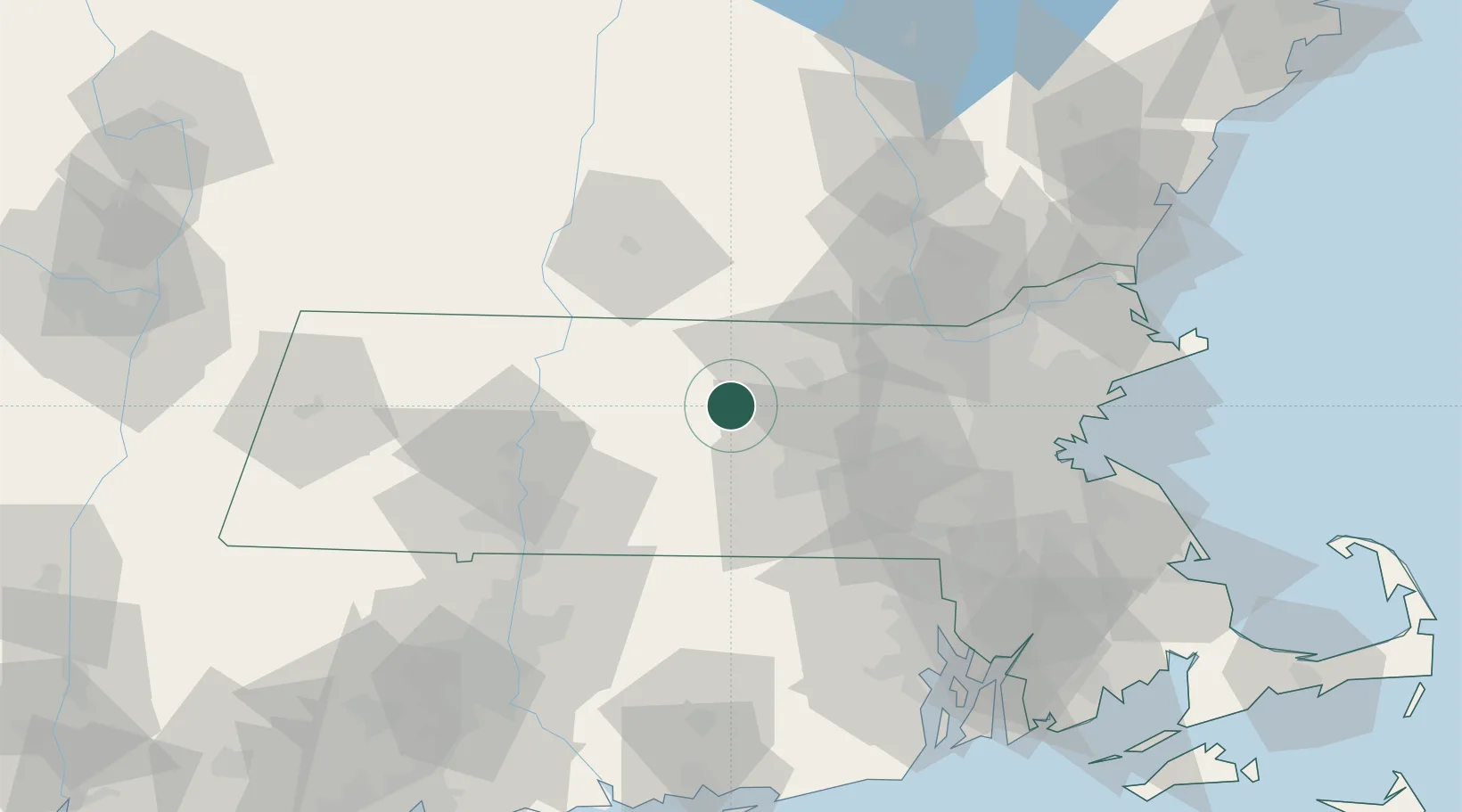
Hubbardston
42.4667°, -72.0000°
3,977
Population
2
Transport functions
Transport Functions
Road
Multimodal
Hub Profile
Place type
Populated place
Region
Massachusetts
Population
3,977
Time zone
America/New_York
Elevation
299 m
Location
Nearby Logistics Neighbours
Cities
- 1Barre10 km
- 2Phillipston14 km
- 3Ashburnham20 km
- 4West Boylston21 km
- 5North Brookfield23 km
Ports
- 1Boston79 km
- 2Lynn86 km
- 3Quincy88 km
- 4Providence89 km
- 5Salem92 km
Airports
Trade Zones
DatabookThe Record of Consolidated Knowledge
United States beyond logistics?