Transport Functions
Rail
Road
Multimodal
Hub Profile
Place type
Populated place
Region
British Columbia
Time zone
America/Creston
Elevation
647 m
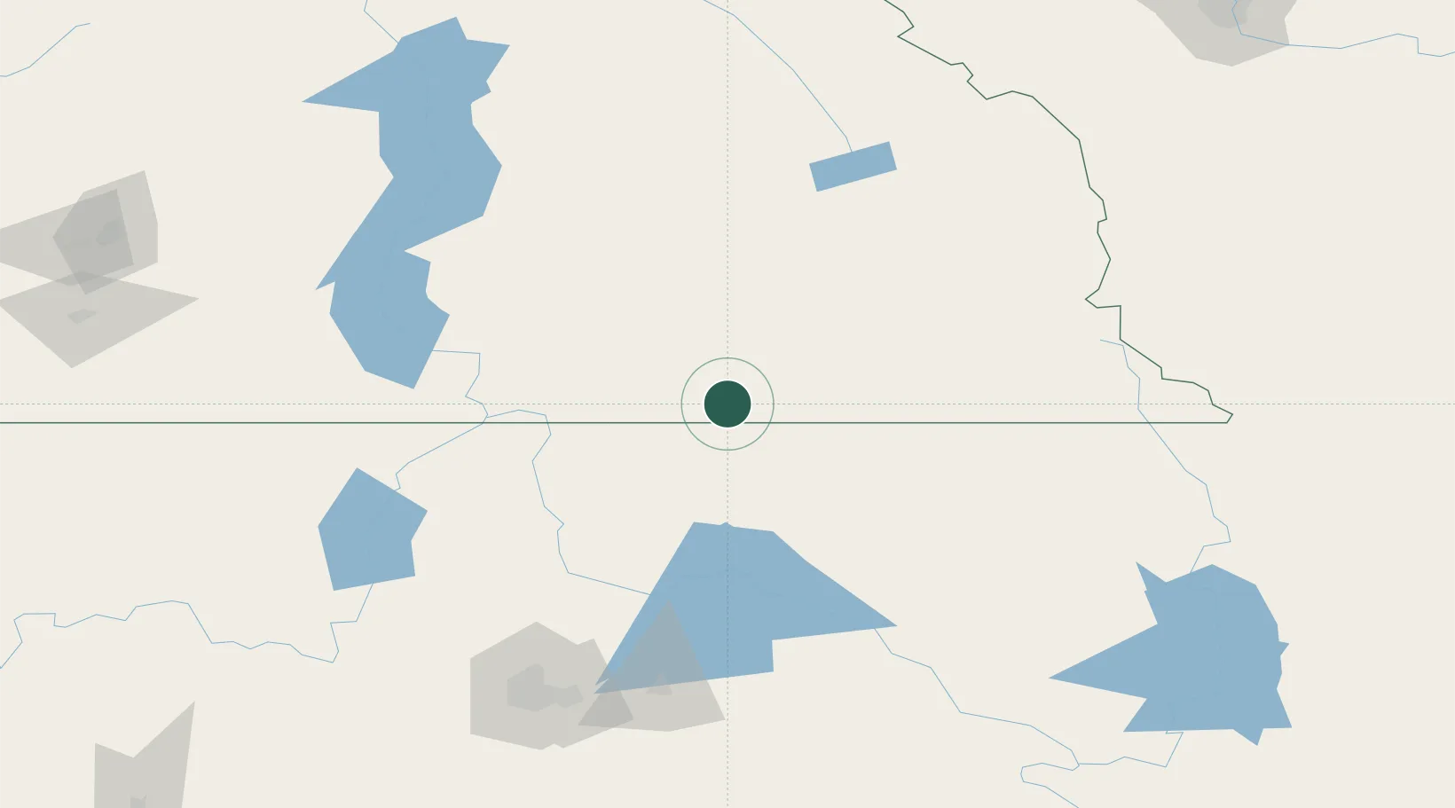
Location
Nearby Logistics Neighbours
Cities
- 1Kingsgate23 km
- 2Bonners Ferry46 km
- 3Salmo60 km
- 4Nelson75 km
- 5Troy82 km
Ports
- 1Mission City422 km
- 2Everett440 km
- 3Bellingham442 km
- 4Mukilteo448 km
- 5Anacortes455 km
Airports
Trade Zones
- 1FTZ No. 242 Boundary County45 km
- 2FTZ No. 224 Spokane174 km
- 3Calgary Region Inland Port278 km
- 4FTZ No. 203 Moses Lake304 km
- 5FTZ No. 187 Toole County310 km
DatabookThe Record of Consolidated Knowledge
Canada beyond logistics?