UN/LOCODE hub · United States
USSF3
Smithfield
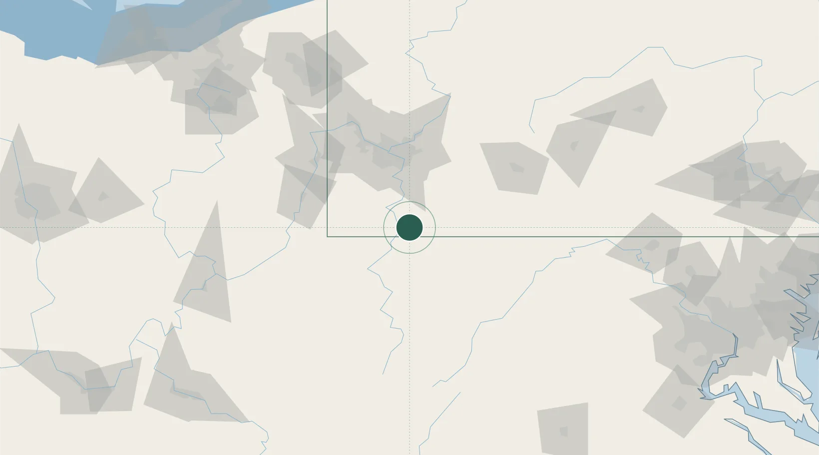
39.8000°, -79.8167°
859
Population
2
Transport functions
Transport Functions
Road
Multimodal
Hub Profile
Place type
Populated place
Region
Pennsylvania
Population
859
Time zone
America/New_York
Elevation
332 m
Location
Nearby Logistics Neighbours
Cities
- 1Point Marion9 km
- 2Lemont Furnace18 km
- 3Morgan19 km
- 4Bruceton Mills22 km
- 5Smock22 km
Ports
- 1Ashtabula248 km
- 2Cleveland248 km
- 3Conneaut249 km
- 4Fairport252 km
- 5Washington D.C.261 km
Airports
Trade Zones
- 1FTZ No. 033 Pittsburgh73 km
- 2FTZ No. 240 Martinsburg160 km
- 3FTZ No. 295 Central Pennsylvania173 km
- 4FTZ No. 254 Jefferson County203 km
- 5FTZ No. 181 Akron Canton208 km
DatabookThe Record of Consolidated Knowledge
United States beyond logistics?