UN/LOCODE hub · United States
USLGQ

Largo

38.9000°, -76.8333°
10,709
Population
2
Transport functions

Transport Functions

Road
Multimodal
UN/LOCODE

Hub Profile

Place type
Populated place
GeoNames
Region
Maryland
GeoNames
Population
10,709
GeoNames
Time zone
America/New_York
GeoNames
Elevation
53 m
GeoNames

Location

Location of USLGQ
Natural Earth 10m (public domain) · Maryland · USLGQ · 38.90, -76.83GoogleOSMYandex

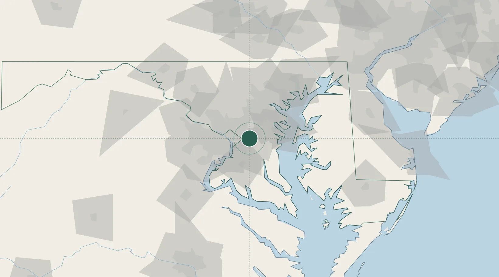
Nearby Logistics Neighbours

Cities
  1. 1District Heights7 km
  2. 2Mitchellville7 km
  3. 3Glenndale8 km
  4. 4Bowie10 km
  5. 5Upper Malboro13 km
Nearest neighbours — logibook spatial index (haversine) over the source coordinates
Ports
  1. 1Washington D.C.18 km
  2. 2Alexandria21 km
  3. 3Annapolis32 km
  4. 4Baltimore46 km
  5. 5Solomons Island73 km
Nearest neighbours — logibook spatial index (haversine) over the source coordinates
Airports
  1. 1Joint Base Andrews10 km
  2. 2Ronald Reagan Washington National Airport19 km
  3. 3Fort Meade Executive Airport22 km
  4. 4Baltimore/Washington International Thurgood Marshall Airport34 km
  5. 5Davison Army Air Field37 km
Nearest neighbours — logibook spatial index (haversine) over the source coordinates
Trade Zones
  1. 1FTZ No. 063 PrInce Georges County29 km
  2. 2FTZ No. 073 BWI Airport34 km
  3. 3FTZ No. 074 Baltimore46 km
  4. 4FTZ No. 137 Washington Dulles International Airport54 km
  5. 5FTZ No. 185 Culpeper County116 km
Nearest neighbours — logibook spatial index (haversine) over the source coordinates
DatabookThe Record of Consolidated Knowledge
United States beyond logistics?
Browse databook

All Sources

LocationsUN/LOCODE
UN/LOCODE — free
LocationsGeoNames
CC BY 4.0
Portsthe NGA World Port Index
Public domain (US gov)
AirportsOurAirports
Public domain
Trade Zonesthe World Bank SEZ database
CC BY 4.0
Trade ZonesOpen Zone Map
CC BY
← United States locations