Transport Functions
Rail
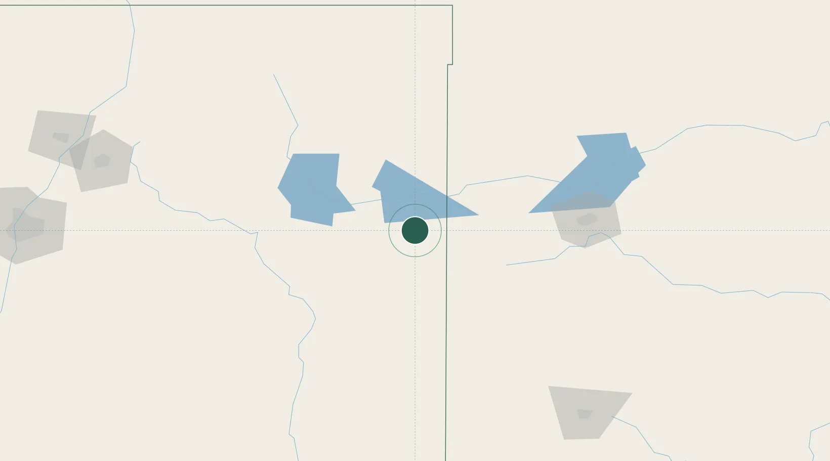
Hub Profile
Place type
Populated place
Region
New Mexico
Population
203
Time zone
America/Denver
Elevation
1,229 m
Location
Nearby Logistics Neighbours
Cities
- 1Santa Rosa124 km
- 2Canyon128 km
- 3Haney130 km
- 4Elida132 km
- 5Zita133 km
Ports
- 1Deer Park956 km
- 2Port Lavaca959 km
- 3Houston960 km
- 4Pasadena967 km
- 5Palacios978 km
Airports
Trade Zones
- 1FTZ No. 252 Amarillo132 km
- 2FTZ No. 260 Lubbock205 km
- 3FTZ No. 261 Alexandria205 km
- 4FTZ No. 110 Albuquerque318 km
- 5FTZ No. 165 Midland357 km
DatabookThe Record of Consolidated Knowledge
United States beyond logistics?