Transport Functions
Rail
Road
Hub Profile
Place type
Populated place
Region
Saskatchewan
Time zone
America/Regina
Elevation
595 m
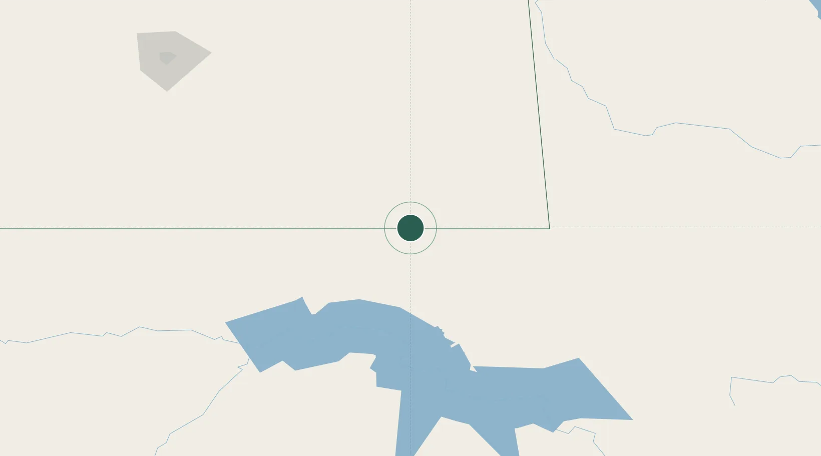
Location
Nearby Logistics Neighbours
Ports
- 1Duluth817 km
- 2Superior821 km
- 3Two Harbors840 km
- 4Bayfield907 km
- 5Washburn908 km
Airports
Trade Zones
- 1Global Transportation Hub Authority226 km
- 2Winnipegs Centreport Canada404 km
- 3FTZ No. 103 Grand Forks414 km
- 4FTZ No. 267 Fargo479 km
- 5FTZ No. 259 Koochiching County610 km
DatabookThe Record of Consolidated Knowledge
Canada beyond logistics?