UN/LOCODE hub · United States
USHWH

Homeworth

40.8333°, -81.0667°
481
Population
2
Transport functions

Transport Functions

Rail
Road
UN/LOCODE

Hub Profile

Place type
Populated place
GeoNames
Region
Ohio
GeoNames
Population
481
GeoNames
Time zone
America/New_York
GeoNames
Elevation
348 m
GeoNames

Location

Location of USHWH
Natural Earth 10m (public domain) · Ohio · USHWH · 40.83, -81.07GoogleOSMYandex

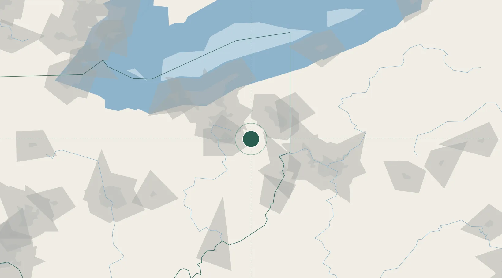
Nearby Logistics Neighbours

Cities
  1. 1Beloit11 km
  2. 2Kensington15 km
  3. 3East Canton19 km
  4. 4Leetonia27 km
  5. 5Magnolia28 km
Nearest neighbours — logibook spatial index (haversine) over the source coordinates
Ports
  1. 1Cleveland92 km
  2. 2Fairport106 km
  3. 3Lorain117 km
  4. 4Ashtabula121 km
  5. 5Vermilion128 km
Nearest neighbours — logibook spatial index (haversine) over the source coordinates
Airports
  1. 1Akron Canton Regional Airport33 km
  2. 2Akron Fulton International Airport41 km
  3. 3Beaver County Airport57 km
  4. 4Youngstown Warren Regional Airport58 km
  5. 5Pittsburgh International Airport80 km
Nearest neighbours — logibook spatial index (haversine) over the source coordinates
Trade Zones
  1. 1FTZ No. 181 Akron Canton58 km
  2. 2FTZ No. 033 Pittsburgh97 km
  3. 3FTZ No. 040 Cleveland99 km
  4. 4FTZ No. 247 Erie164 km
  5. 5FTZ No. 138 Franklin County195 km
Nearest neighbours — logibook spatial index (haversine) over the source coordinates
DatabookThe Record of Consolidated Knowledge
United States beyond logistics?
Browse databook

All Sources

LocationsUN/LOCODE
UN/LOCODE — free
LocationsGeoNames
CC BY 4.0
Portsthe NGA World Port Index
Public domain (US gov)
AirportsOurAirports
Public domain
Trade Zonesthe World Bank SEZ database
CC BY 4.0
Trade ZonesOpen Zone Map
CC BY
← United States locations