Transport Functions
Rail
Road
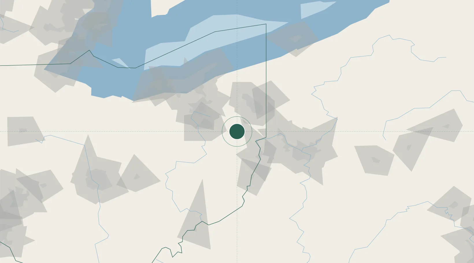
Hub Profile
Place type
Populated place
Region
Ohio
Time zone
America/New_York
Elevation
340 m
Location
Nearby Logistics Neighbours
Cities
- 1Homeworth15 km
- 2Beloit21 km
- 3Elkton21 km
- 4Leetonia22 km
- 5East Fairfield28 km
Airports
Trade Zones
- 1FTZ No. 181 Akron Canton71 km
- 2FTZ No. 033 Pittsburgh83 km
- 3FTZ No. 040 Cleveland113 km
- 4FTZ No. 247 Erie169 km
- 5FTZ No. 295 Central Pennsylvania192 km
DatabookThe Record of Consolidated Knowledge
United States beyond logistics?