UN/LOCODE hub · United States
USAFB
Avondale
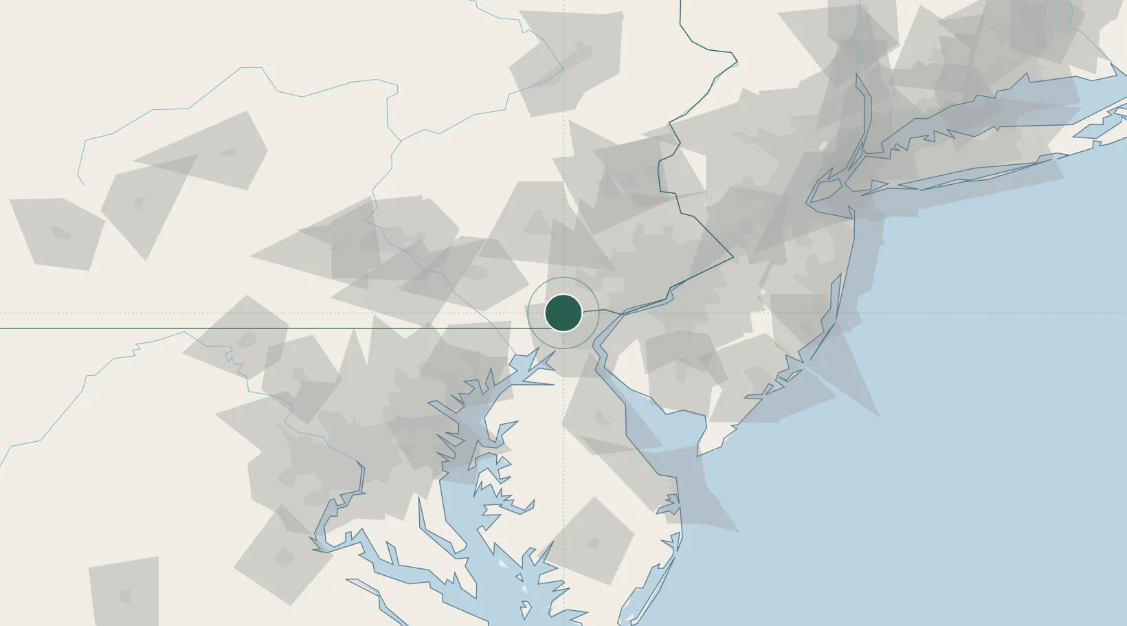
39.8167°, -75.7833°
1,399
Population
3
Transport functions
Transport Functions
Rail
Road
Multimodal
Hub Profile
Place type
Populated place
Region
Pennsylvania
Population
1,399
Time zone
America/New_York
Elevation
82 m
Location
Nearby Logistics Neighbours
Cities
- 1Toughkenamon3 km
- 2West Grove3 km
- 3Vincentown13 km
- 4Winterthur14 km
- 5Oxford16 km
Ports
- 1Wilmington22 km
- 2New Castle26 km
- 3Deepwater Point26 km
- 4Salem Nj31 km
- 5Marcus Hook31 km
Airports
Trade Zones
- 1FTZ No. 099 Wilmington22 km
- 2FTZ No. 035 Philadelphia49 km
- 3FTZ No. 142 Salem Millville74 km
- 4FTZ No. 147 Berks County77 km
- 5FTZ No. 074 Baltimore93 km
DatabookThe Record of Consolidated Knowledge
United States beyond logistics?