UN/LOCODE hub · United States
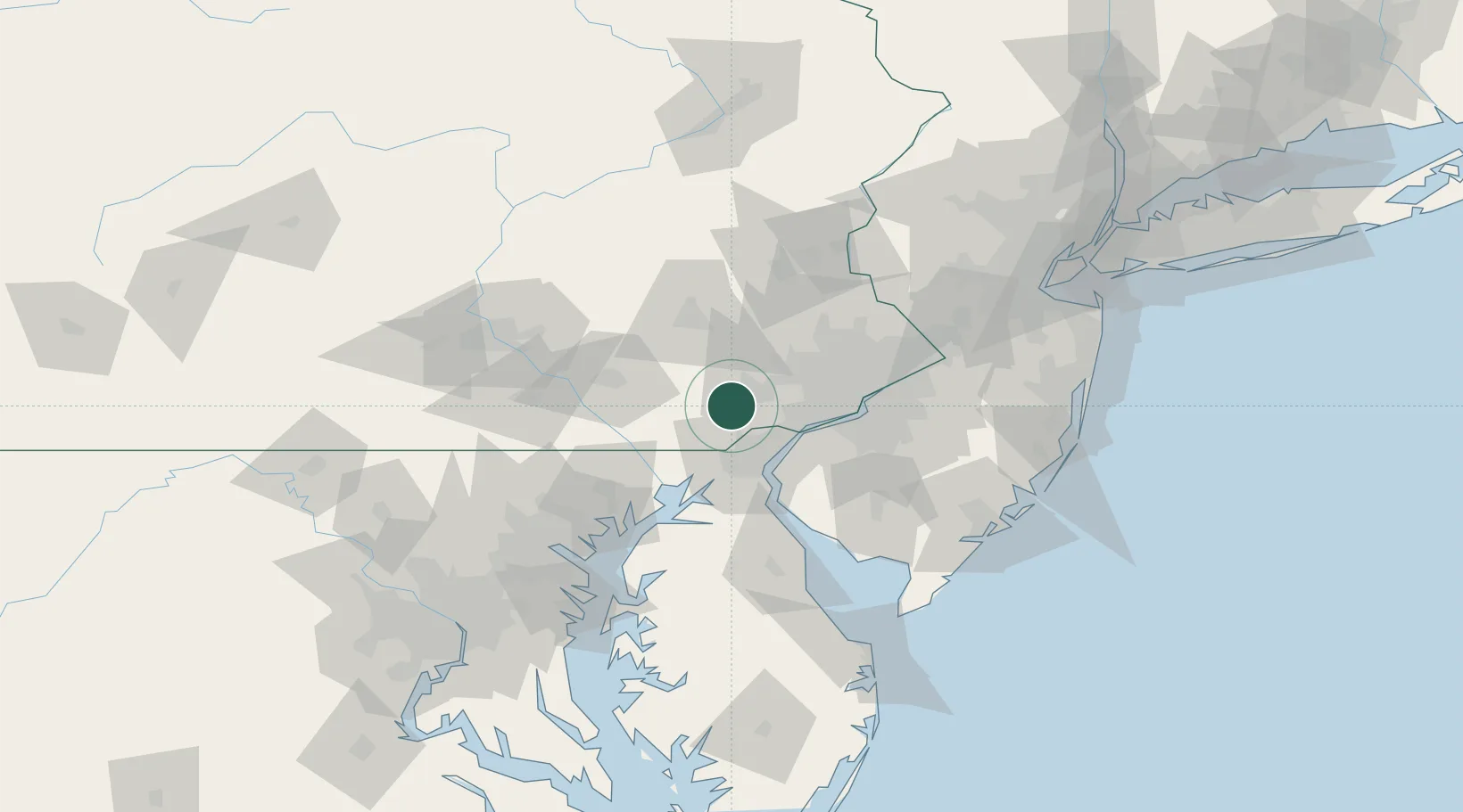
USXVT

Vincentown

39.9333°, -75.7500°
24,664
Population
2
Transport functions

Transport Functions

Road
Multimodal
UN/LOCODE

Hub Profile

Place type
Populated place
GeoNames
Region
New Jersey
GeoNames
Population
24,664
GeoNames
Time zone
America/New_York
GeoNames
Elevation
12 m
GeoNames

Location

Location of USXVT
Natural Earth 10m (public domain) · New Jersey · USXVT · 39.93, -75.75GoogleOSMYandex

Nearby Logistics Neighbours

Cities
  1. 1Pomeroy12 km
  2. 2Toughkenamon13 km
  3. 3Avondale13 km
  4. 4West Grove14 km
  5. 5Eagle16 km
Nearest neighbours — logibook spatial index (haversine) over the source coordinates
Ports
  1. 1Wilmington28 km
  2. 2Marcus Hook31 km
  3. 3Deepwater Point33 km
  4. 4New Castle35 km
  5. 5Chester35 km
Nearest neighbours — logibook spatial index (haversine) over the source coordinates
Airports
  1. 1Wilmington Airport31 km
  2. 2Philadelphia International Airport44 km
  3. 3Lancaster Airport51 km
  4. 4Reading Regional Airport (Carl A Spaatz Field)53 km
  5. 5Phillips Army Air Field63 km
Nearest neighbours — logibook spatial index (haversine) over the source coordinates
Trade Zones
  1. 1FTZ No. 099 Wilmington27 km
  2. 2FTZ No. 035 Philadelphia43 km
  3. 3FTZ No. 147 Berks County69 km
  4. 4FTZ No. 142 Salem Millville81 km
  5. 5FTZ No. 272 Counties of Lehigh and Northampton85 km
Nearest neighbours — logibook spatial index (haversine) over the source coordinates
DatabookThe Record of Consolidated Knowledge
United States beyond logistics?
Browse databook

All Sources

LocationsUN/LOCODE
UN/LOCODE — free
LocationsGeoNames
CC BY 4.0
Portsthe NGA World Port Index
Public domain (US gov)
AirportsOurAirports
Public domain
Trade Zonesthe World Bank SEZ database
CC BY 4.0
Trade ZonesOpen Zone Map
CC BY
← United States locations