Transport Functions
Rail
Road
Multimodal
Hub Profile
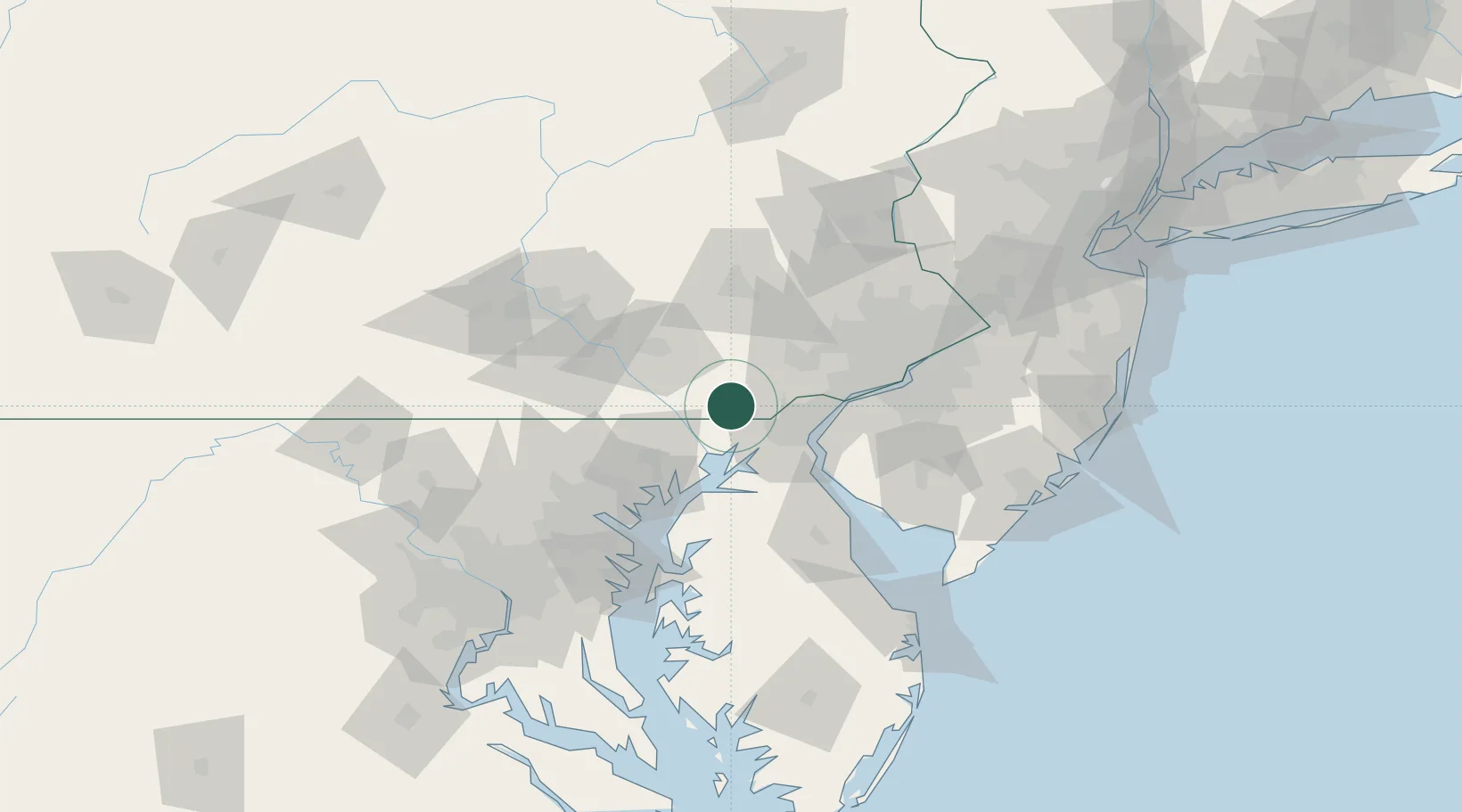
Place type
Populated place
Region
Pennsylvania
Population
5,385
Time zone
America/New_York
Elevation
171 m
Location
Nearby Logistics Neighbours
Cities
- 1West Grove13 km
- 2Avondale16 km
- 3Christiana19 km
- 4Toughkenamon19 km
- 5Quarryville19 km
Ports
- 1Havre De Grace30 km
- 2Wilmington36 km
- 3New Castle37 km
- 4Deepwater Point40 km
- 5Salem Nj43 km
Airports
- 1Wilmington Airport33 km
- 2Phillips Army Air Field39 km
- 3Lancaster Airport47 km
- 4Philadelphia International Airport63 km
- 5Martin State Airport64 km
Trade Zones
- 1FTZ No. 099 Wilmington36 km
- 2FTZ No. 035 Philadelphia65 km
- 3FTZ No. 147 Berks County74 km
- 4FTZ No. 074 Baltimore79 km
- 5FTZ No. 142 Salem Millville85 km
DatabookThe Record of Consolidated Knowledge
United States beyond logistics?