Transport Functions
Port
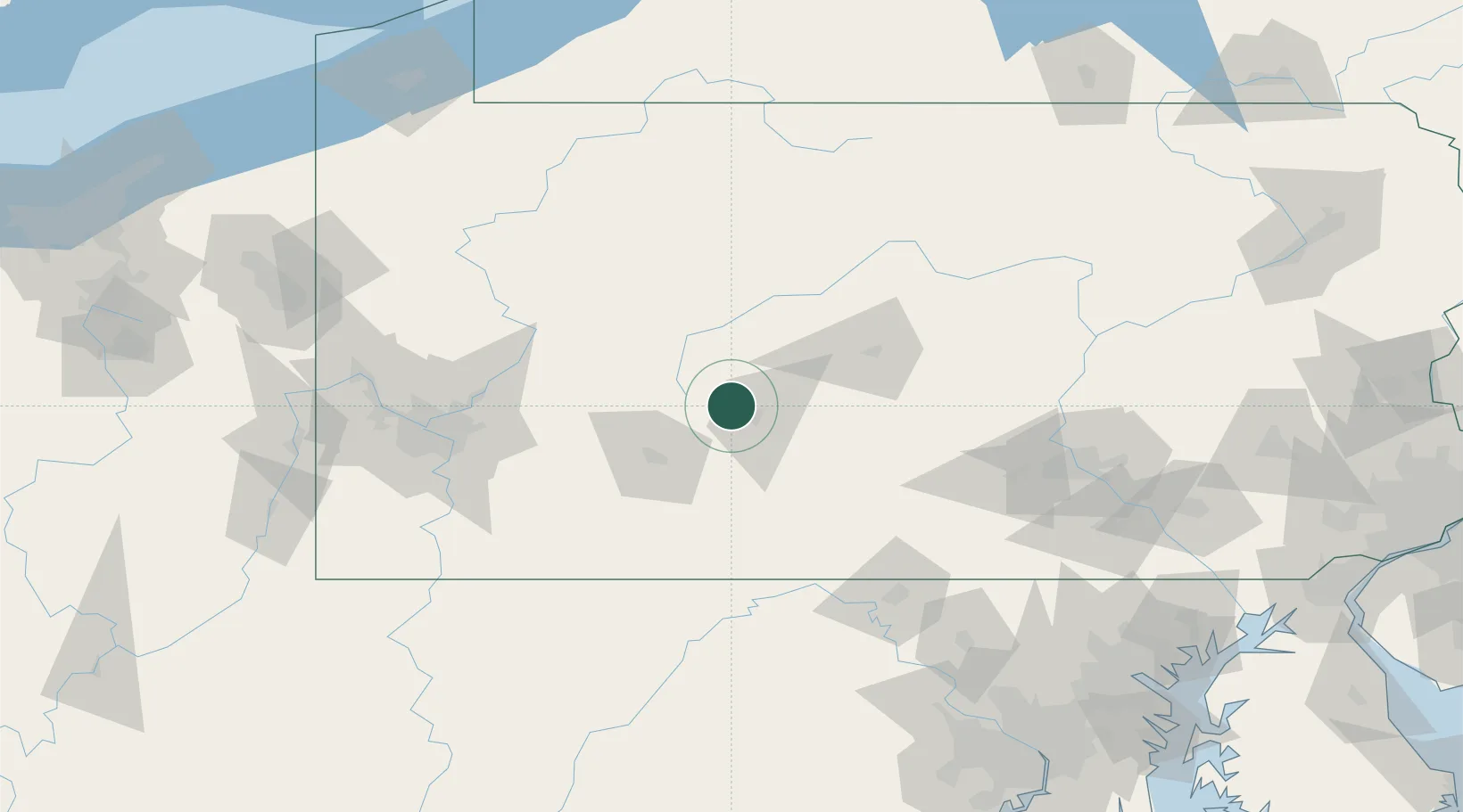
Hub Profile
Place type
Populated place
Region
Pennsylvania
Population
219
Time zone
America/New_York
Elevation
502 m
Location
Nearby Logistics Neighbours
Cities
- 1Loretto9 km
- 2Cresson12 km
- 3Bellwood18 km
- 4Hollidaysburg20 km
- 5Newry20 km
Ports
- 1Baltimore219 km
- 2Erie221 km
- 3Dunkirk225 km
- 4Washington D.C.227 km
- 5Conneaut231 km
Airports
Trade Zones
- 1FTZ No. 295 Central Pennsylvania65 km
- 2FTZ No. 254 Jefferson County100 km
- 3FTZ No. 033 Pittsburgh129 km
- 4FTZ No. 240 Martinsburg129 km
- 5FTZ No. 147 Berks County193 km
DatabookThe Record of Consolidated Knowledge
United States beyond logistics?