Transport Functions
Port
Rail
Road
Multimodal
Hub Profile
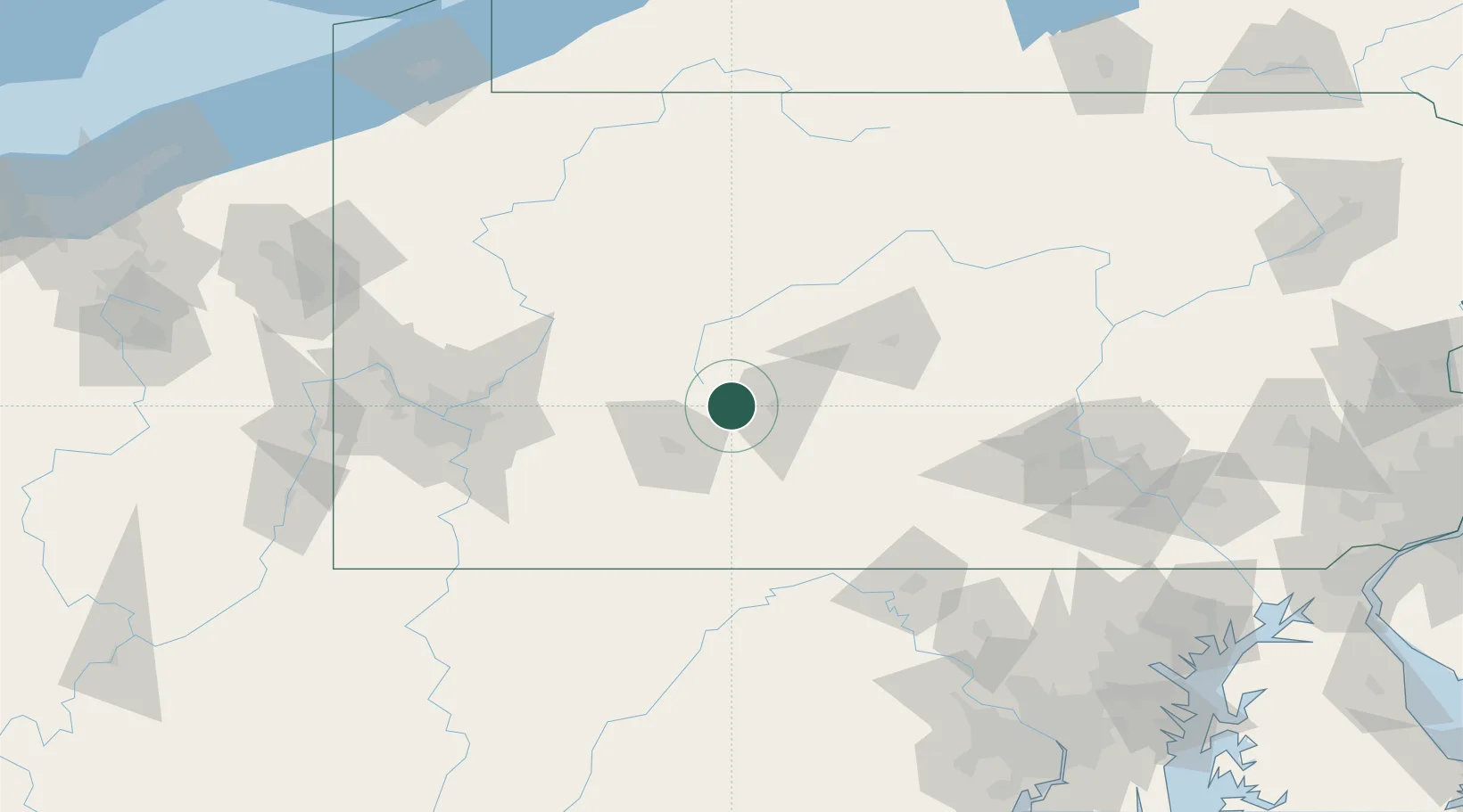
Place type
Populated place
Region
Pennsylvania
Population
1,376
Time zone
America/New_York
Elevation
595 m
Location
Nearby Logistics Neighbours
Cities
- 1Cresson6 km
- 2Ashville9 km
- 3Newry20 km
- 4Hollidaysburg22 km
- 5Northern Cambria23 km
Ports
- 1Baltimore221 km
- 2Erie221 km
- 3Washington D.C.227 km
- 4Dunkirk229 km
- 5Conneaut230 km
Airports
Trade Zones
DatabookThe Record of Consolidated Knowledge
United States beyond logistics?