Transport Functions
Road
Multimodal
Hub Profile
Place type
Populated place
Region
Pennsylvania
Population
1,633
Time zone
America/New_York
Elevation
615 m
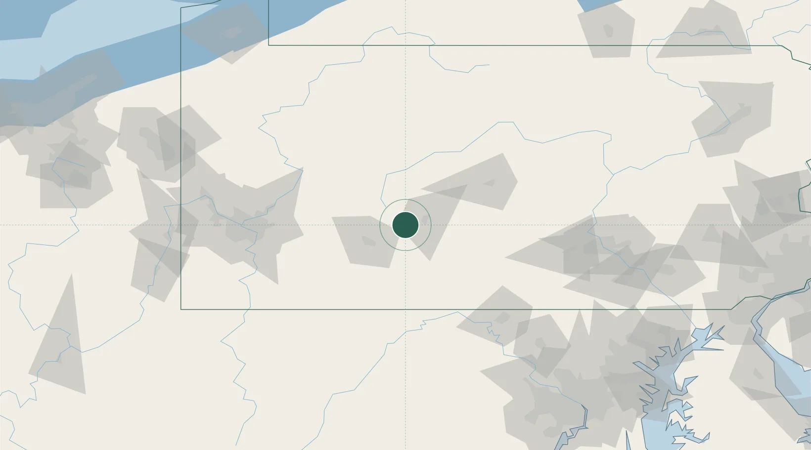
Location
Nearby Logistics Neighbours
Cities
- 1Loretto6 km
- 2Ashville12 km
- 3Newry15 km
- 4Hollidaysburg17 km
- 5Claysburg20 km
Ports
- 1Baltimore216 km
- 2Washington D.C.221 km
- 3Alexandria227 km
- 4Erie228 km
- 5Dunkirk235 km
Airports
Trade Zones
DatabookThe Record of Consolidated Knowledge
United States beyond logistics?