UN/LOCODE hub · United States
USEWO
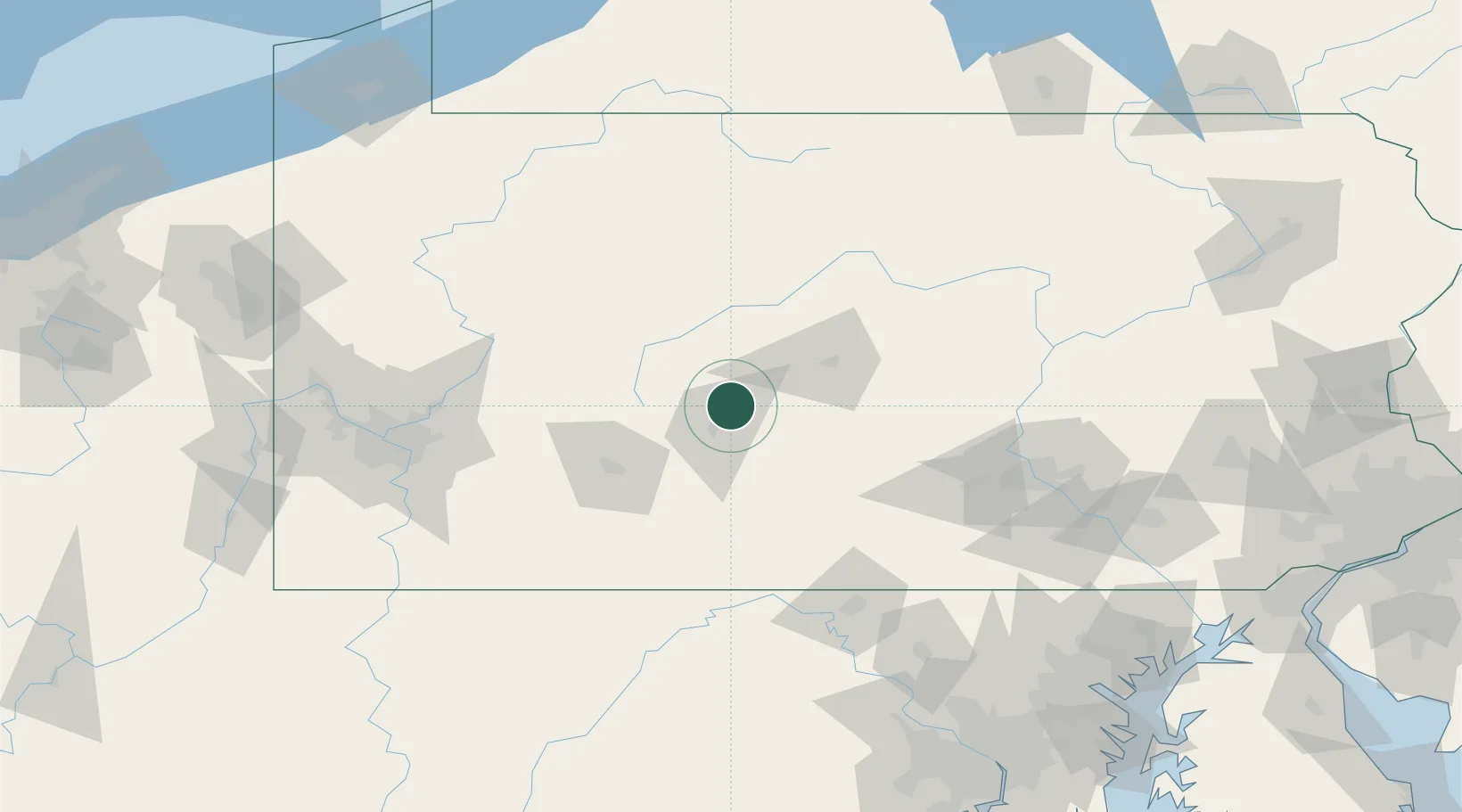
Bellwood
40.6000°, -78.3333°
1,828
Population
4
Transport functions
Transport Functions
Port
Rail
Road
Multimodal
Hub Profile
Place type
Populated place
Region
Pennsylvania
Population
1,828
Time zone
America/New_York
Elevation
321 m
Location
Nearby Logistics Neighbours
Cities
- 1Tipton5 km
- 2Ashville18 km
- 3Hollidaysburg21 km
- 4Newry26 km
- 5Irvona26 km
Ports
- 1Baltimore210 km
- 2Washington D.C.223 km
- 3Havre De Grace225 km
- 4Dunkirk225 km
- 5Erie227 km
Airports
Trade Zones
- 1FTZ No. 295 Central Pennsylvania66 km
- 2FTZ No. 254 Jefferson County99 km
- 3FTZ No. 240 Martinsburg130 km
- 4FTZ No. 033 Pittsburgh146 km
- 5FTZ No. 147 Berks County176 km
DatabookThe Record of Consolidated Knowledge
United States beyond logistics?