Transport Functions
Rail
Road
Multimodal
Hub Profile
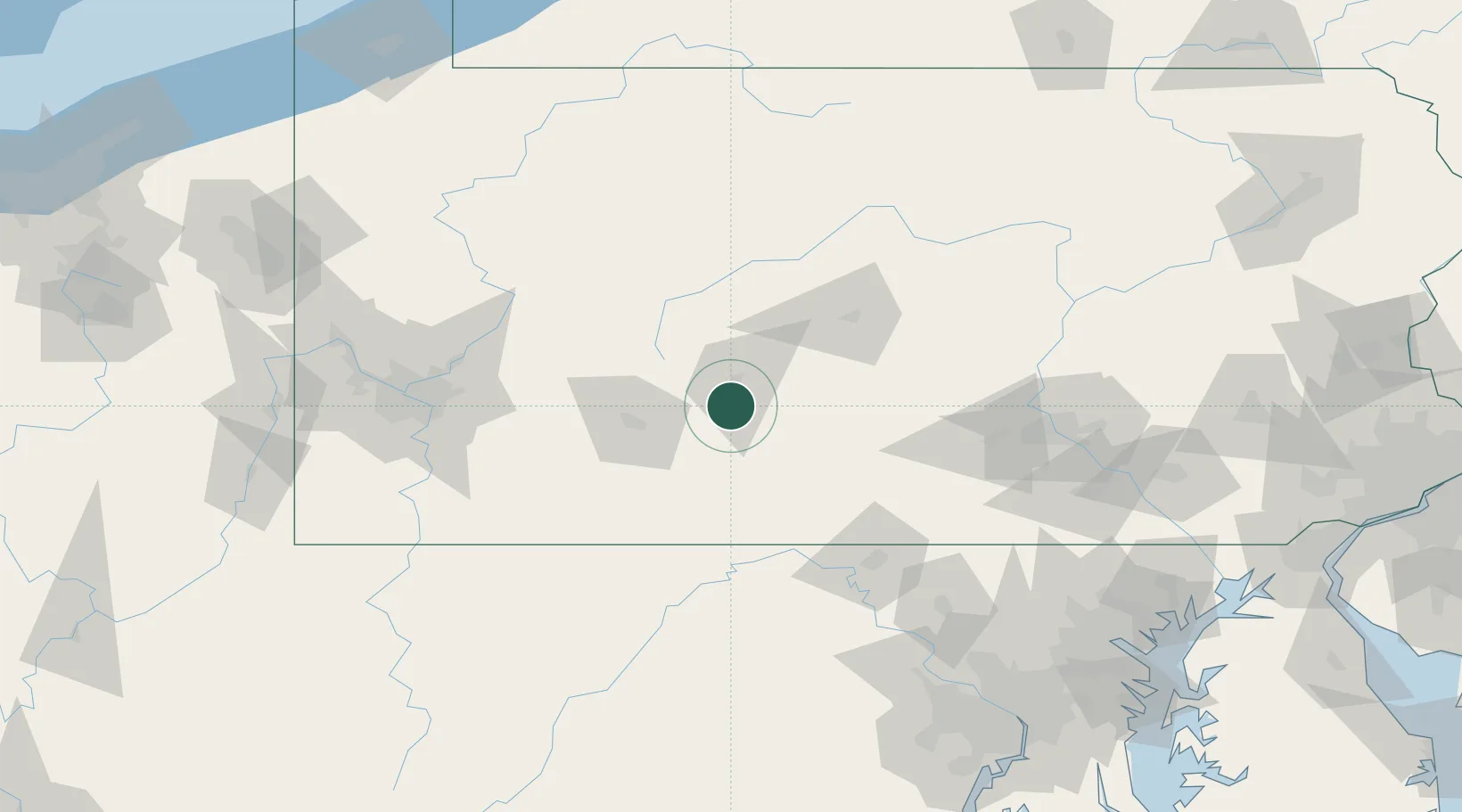
Place type
Populated place
Region
Pennsylvania
Population
268
Time zone
America/New_York
Elevation
320 m
Location
Nearby Logistics Neighbours
Cities
- 1Hollidaysburg6 km
- 2Claysburg9 km
- 3Sproul13 km
- 4Martinsburg14 km
- 5Cresson15 km
Ports
- 1Baltimore201 km
- 2Washington D.C.207 km
- 3Alexandria213 km
- 4Havre De Grace222 km
- 5Annapolis228 km
Airports
Trade Zones
DatabookThe Record of Consolidated Knowledge
United States beyond logistics?