Transport Functions
Rail
Road
Hub Profile
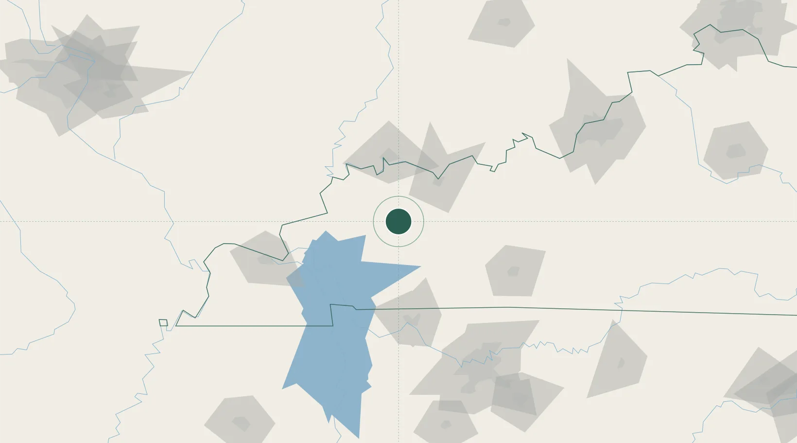
Place type
Populated place
Region
Kentucky
Population
736
Time zone
America/Chicago
Elevation
133 m
Location
Nearby Logistics Neighbours
Cities
- 1Earlington17 km
- 2Sacramento19 km
- 3Mortons Gap20 km
- 4Sebree21 km
- 5Dixon22 km
Ports
- 1Port Of Memphis356 km
- 2Gary467 km
- 3Indiana Harbor473 km
- 4Calumet Harbor480 km
- 5Michigan City482 km
Airports
Trade Zones
- 1FTZ No. 177 Evansville66 km
- 2FTZ No. 294 Western Kentucky106 km
- 3FTZ No. 078 Nashville141 km
- 4FTZ No. 029 Louisville174 km
- 5FTZ No. 283 West Tennessee271 km
DatabookThe Record of Consolidated Knowledge
United States beyond logistics?