UN/LOCODE hub · United States
USQEO
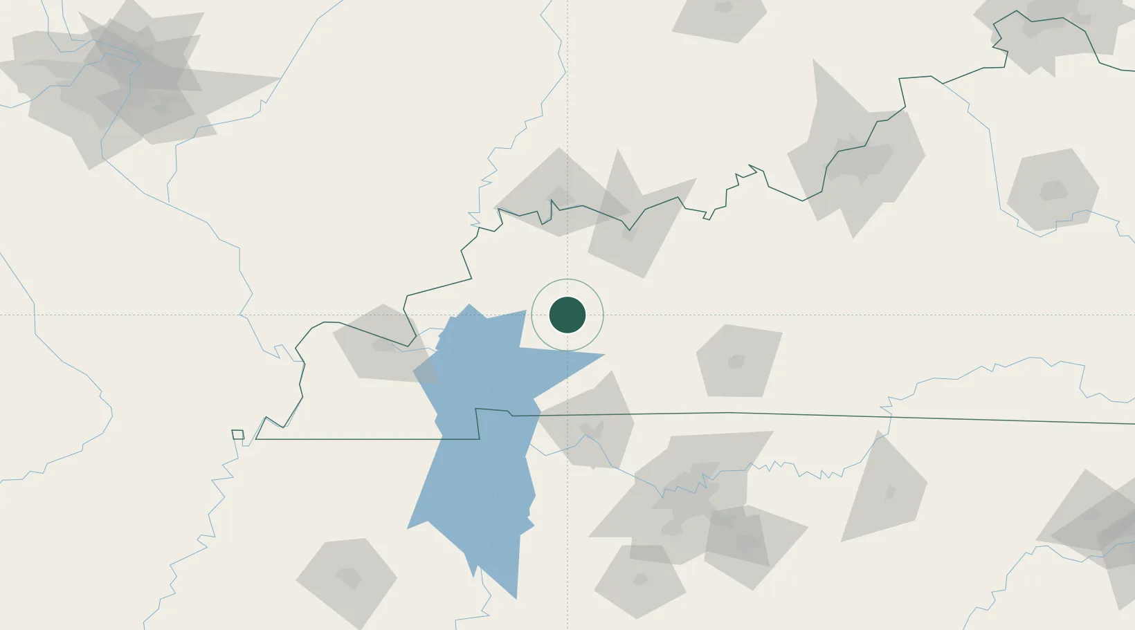
Earlington
37.2667°, -87.5000°
1,395
Population
4
Transport functions
Transport Functions
Port
Rail
Road
Multimodal
Hub Profile
Place type
Populated place
Region
Kentucky
Population
1,395
Time zone
America/Chicago
Elevation
129 m
Location
Nearby Logistics Neighbours
Cities
- 1Mortons Gap4 km
- 2Hanson17 km
- 3Crofton26 km
- 4Sacramento27 km
- 5Providence, Webster28 km
Ports
- 1Port Of Memphis342 km
- 2Gary484 km
- 3Indiana Harbor489 km
- 4Calumet Harbor497 km
- 5Michigan City499 km
Airports
Trade Zones
- 1FTZ No. 177 Evansville82 km
- 2FTZ No. 294 Western Kentucky98 km
- 3FTZ No. 078 Nashville126 km
- 4FTZ No. 029 Louisville186 km
- 5FTZ No. 283 West Tennessee257 km
DatabookThe Record of Consolidated Knowledge
United States beyond logistics?