UN/LOCODE hub · United States
USDYC

Days Creek

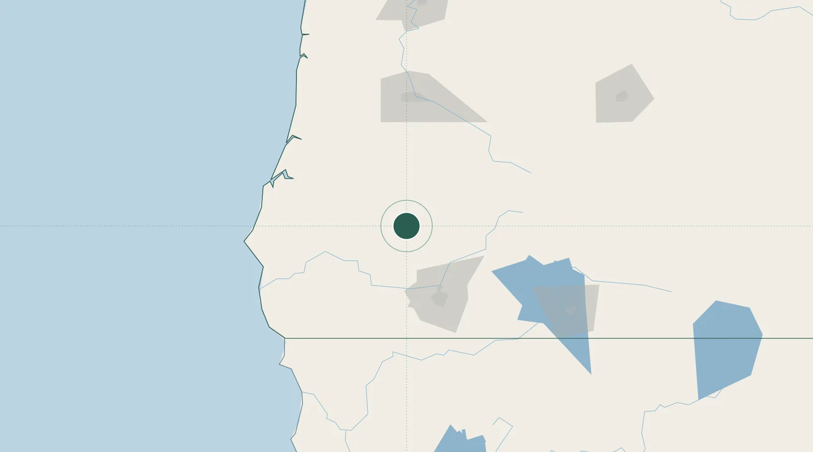
42.9667°, -123.1667°
272
Population
2
Transport functions

Transport Functions

Rail
Road
UN/LOCODE

Hub Profile

Place type
Populated place
GeoNames
Region
Oregon
GeoNames
Population
272
GeoNames
Time zone
America/Los_Angeles
GeoNames
Elevation
228 m
GeoNames

Location

Location of USDYC
Natural Earth 10m (public domain) · Oregon · USDYC · 42.97, -123.17GoogleOSMYandex

Nearby Logistics Neighbours

Cities
  1. 1Glendale33 km
  2. 2Umpqua49 km
  3. 3Oakland53 km
  4. 4Rogue River59 km
  5. 5Gold Hill60 km
Nearest neighbours — logibook spatial index (haversine) over the source coordinates
Ports
  1. 1Coos Bay96 km
  2. 2North Bend98 km
  3. 3Prosper100 km
  4. 4Bandon103 km
  5. 5Port Orford112 km
Nearest neighbours — logibook spatial index (haversine) over the source coordinates
Airports
  1. 1Rogue Valley International-Medford Airport70 km
  2. 2Southwest Oregon Regional Airport101 km
  3. 3Eugene Airport129 km
  4. 4Crater Lake-Klamath Regional Airport148 km
  5. 5Jack Mc Namara Field Airport159 km
Nearest neighbours — logibook spatial index (haversine) over the source coordinates
Trade Zones
  1. 1FTZ No. 132 Coos County96 km
  2. 2FTZ No. 248 Eureka254 km
  3. 3FTZ No. 255 Washington County288 km
  4. 4FTZ No. 045 Portland288 km
  5. 5FTZ No. 296 Vancouver300 km
Nearest neighbours — logibook spatial index (haversine) over the source coordinates
DatabookThe Record of Consolidated Knowledge
United States beyond logistics?
Browse databook

All Sources

LocationsUN/LOCODE
UN/LOCODE — free
LocationsGeoNames
CC BY 4.0
Portsthe NGA World Port Index
Public domain (US gov)
AirportsOurAirports
Public domain
Trade Zonesthe World Bank SEZ database
CC BY 4.0
Trade ZonesOpen Zone Map
CC BY
← United States locations