UN/LOCODE hub · United States
USMC2

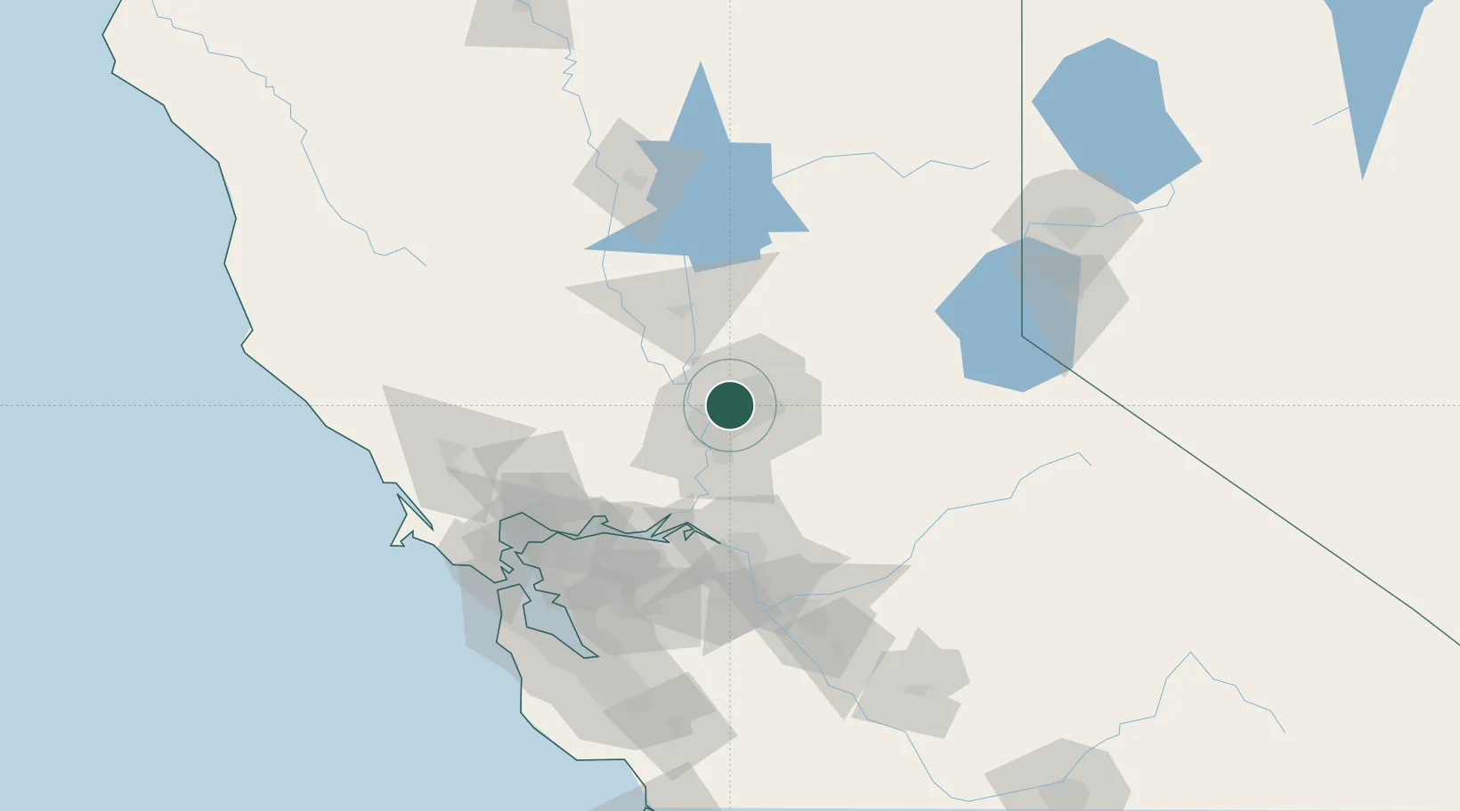
McClellan Air Force Base

38.6667°, -121.4000°
3
Transport functions

Transport Functions

Rail
Road
Airport
UN/LOCODE

Hub Profile

Region
CA
GeoNames

Location

Location of USMC2
Natural Earth 10m (public domain) · CA · USMC2 · 38.67, -121.40GoogleOSMYandex

Nearby Logistics Neighbours

Cities
  1. 1Sacramento9 km
  2. 2Gold River14 km
  3. 3Orangevale16 km
  4. 4Pleasant Grove18 km
  5. 5Granite Bay23 km
Nearest neighbours — logibook spatial index (haversine) over the source coordinates
Ports
  1. 1Sacramento13 km
  2. 2Courtland40 km
  3. 3Walnut Grove49 km
  4. 4Isleton58 km
  5. 5Rio Vista63 km
Nearest neighbours — logibook spatial index (haversine) over the source coordinates
Airports
  1. 1McClellan Airfield0 km
  2. 2Sacramento Mather Airport15 km
  3. 3Sacramento International Airport17 km
  4. 4Sacramento Executive Airport19 km
  5. 5Yuba County Airport50 km
Nearest neighbours — logibook spatial index (haversine) over the source coordinates
Trade Zones
  1. 1FTZ No. 143 West Sacramento14 km
  2. 2FTZ No. 231 Stockton80 km
  3. 3FTZ No. 056 Oakland122 km
  4. 4FTZ No. 003 San Francisco130 km
  5. 5FTZ No. 018 San Jose154 km
Nearest neighbours — logibook spatial index (haversine) over the source coordinates
DatabookThe Record of Consolidated Knowledge
United States beyond logistics?
Browse databook

All Sources

LocationsUN/LOCODE
UN/LOCODE — free
Portsthe NGA World Port Index
Public domain (US gov)
AirportsOurAirports
Public domain
Trade Zonesthe World Bank SEZ database
CC BY 4.0
Trade ZonesOpen Zone Map
CC BY
← United States locations