UN/LOCODE hub · Trinidad & Tobago
TTMVT

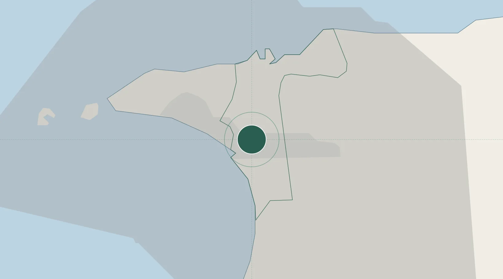
Morvant/Port-of-Spain

10.6500°, -61.4667°
2
Transport functions

Transport Functions

Road
Multimodal
UN/LOCODE

Hub Profile

Region
POS
GeoNames

Location

Location of TTMVT
Natural Earth 10m (public domain) · POS · TTMVT · 10.65, -61.47GoogleOSMYandex

Nearby Logistics Neighbours

Cities
  1. 1Laventille2 km
  2. 2Port-of-Spain6 km
  3. 3Trincity11 km
  4. 4Diego Martin13 km
  5. 5Carenage15 km
Nearest neighbours — logibook spatial index (haversine) over the source coordinates
Ports
  1. 1Port Of Spain6 km
  2. 2Anse Tembladora13 km
  3. 3Chaguaramas20 km
  4. 4Point Lisas Port28 km
  5. 5Pointe A Pierre37 km
Nearest neighbours — logibook spatial index (haversine) over the source coordinates
Airports
  1. 1Piarco International Airport15 km
  2. 2A.N.R. Robinson International Airport89 km
  3. 3Guiria Airport93 km
  4. 4Maurice Bishop International Airport155 km
  5. 5Tucupita Airport187 km
Nearest neighbours — logibook spatial index (haversine) over the source coordinates
Trade Zones
  1. 1Beetham Industrial Park1 km
  2. 2Morvant Industrial Park1 km
  3. 3East Dry River Industrial Park4 km
  4. 4Nestlé Caribbean Inc. Free Zone4 km
  5. 5Sea Lots Industrial Park5 km
Nearest neighbours — logibook spatial index (haversine) over the source coordinates
DatabookThe Record of Consolidated Knowledge
Trinidad & Tobago beyond logistics?
Browse databook

All Sources

LocationsUN/LOCODE
UN/LOCODE — free
Portsthe NGA World Port Index
Public domain (US gov)
AirportsOurAirports
Public domain
Trade Zonesthe World Bank SEZ database
CC BY 4.0
Trade ZonesOpen Zone Map
CC BY
← Trinidad & Tobago locations