UN/LOCODE hub · Türkiye
TRKRB

Karabiga

40.4000°, 27.3000°
1
Transport functions

Transport Functions

Port
Karabiga is also a profiled seaport →
UN/LOCODE

Hub Profile

Place type
District seat
GeoNames
Region
Canakkale
GeoNames
Time zone
Europe/Istanbul
GeoNames
Elevation
9 m
GeoNames

Location

Location of TRKRB
Natural Earth 10m (public domain) · Canakkale · TRKRB · 40.40, 27.30GoogleOSMYandex

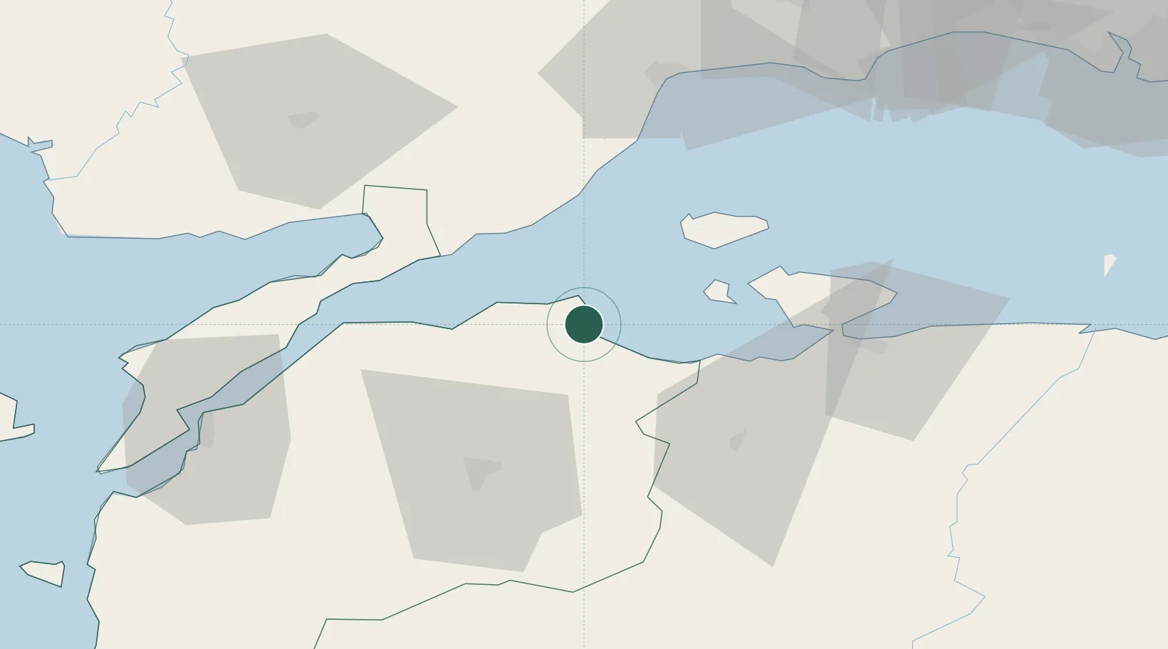
Nearby Logistics Neighbours

Cities
  1. 1Icdas Jetty6 km
  2. 2Marmara Adasi20 km
  3. 3Erdek41 km
  4. 4Saraylar43 km
  5. 5Bandirma56 km
Nearest neighbours — logibook spatial index (haversine) over the source coordinates
Ports
  1. 1Erdek42 km
  2. 2Gelibolu54 km
  3. 3Bandirma57 km
  4. 4Tekirdag67 km
  5. 5Canakkale81 km
Nearest neighbours — logibook spatial index (haversine) over the source coordinates
Airports
  1. 1Bandırma Airport58 km
  2. 2Keşan Air Base73 km
  3. 3Çanakkale Airport80 km
  4. 4Tekirdağ Çorlu Airport97 km
  5. 5Balıkesir Koca Seyit Airport97 km
Nearest neighbours — logibook spatial index (haversine) over the source coordinates
Trade Zones
  1. 1Mustafakemalpasa Organized Industrial Zone96 km
  2. 2Balikesir Organized Industrial Zone101 km
  3. 3European Free Zone107 km
  4. 4Cerkezkoy Organized Industrial Zone115 km
  5. 5Bursa Ihtisas Deri Organized Industrial Zone118 km
Nearest neighbours — logibook spatial index (haversine) over the source coordinates
DatabookThe Record of Consolidated Knowledge
Türkiye beyond logistics?
Browse databook

All Sources

LocationsUN/LOCODE
UN/LOCODE — free
Portsthe NGA World Port Index
Public domain (US gov)
AirportsOurAirports
Public domain
Trade Zonesthe World Bank SEZ database
CC BY 4.0
Trade ZonesOpen Zone Map
CC BY
← Türkiye locations