Transport Functions
Rail
Road
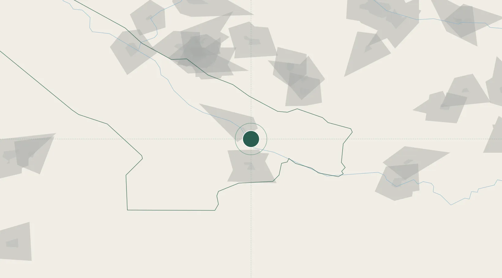
Hub Profile
Region
L
Location
Nearby Logistics Neighbours
Cities
- 1Halach39 km
- 2Karshi100 km
- 3Termez193 km
- 4Turkmenabat201 km
- 5Farap204 km
Ports
- 1Gwadar1441 km
- 2Jazireh-Ye Hormoz1450 km
- 3Bandar Abbas1459 km
- 4Karachi1462 km
- 5Chah Bahar1465 km
Airports
- 1Karshi Airport116 km
- 2Türkmenabat International Airport189 km
- 3Termez Airport194 km
- 4Mazar-i-Sharif International Airport216 km
- 5Maymana Zahiraddin Faryabi Airport218 km
Trade Zones
DatabookThe Record of Consolidated Knowledge
Turkmenistan beyond logistics?