Medium airport · Uzbekistan
Termez AirportUTST
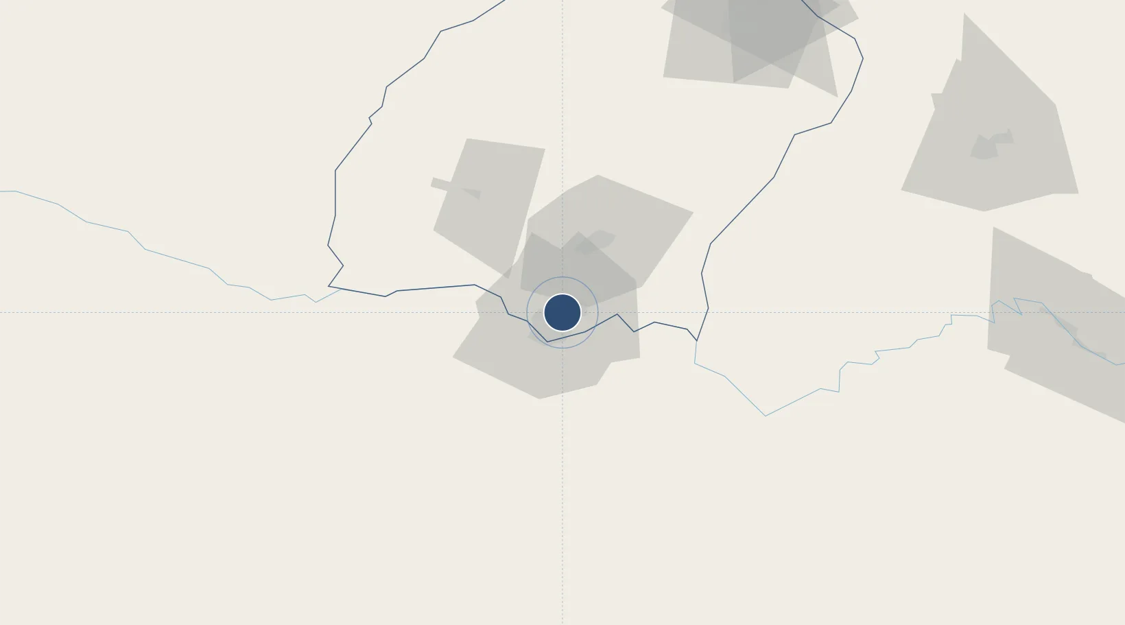
37.2873°, 67.3119°
9,843 ft
Longest runway
1
Runways
1,027 ft
Elevation
Runway & Layout

Radio Frequencies
TWR
118.6 MHz
ACC
134.3 MHz
SAMARKAND CON
RDO
472.8 MHz
Runways · 1
| Runway | Dimensions | Surface | True heading | Lit |
|---|---|---|---|---|
| 07/25 | 9,843 × 138ft | Concrete | 075° | ✓ |
Airport Specifications
IATA code
TMJ
ICAO code
UZST
Airport class
Medium airport
Scheduled service
Yes
Runway surface
Concrete
Served city
Termez
Location
Nearby Logistics Neighbours
Airports
- 1Mazar-i-Sharif International Airport66 km
- 2Qurghonteppa International Airport151 km
- 3Kunduz Airport158 km
- 4Gissar Air Base181 km
- 5Farkhor Air Base184 km
Cities
- 1Termez9 km
- 2Shaartuz73 km
- 3Dehdadi77 km
- 4Qurghonteppa142 km
- 5Kerkichi194 km
Ports
- 1Karachi1391 km
- 2Muhamamad Bin Qasim1392 km
- 3Gwadar1432 km
- 4Chah Bahar1479 km
- 5Jazireh-Ye Hormoz1524 km
Trade Zones
DatabookThe Record of Consolidated Knowledge
Uzbekistan beyond logistics?