UN/LOCODE hub · Uzbekistan
UZKSQ

Karshi

38.6398°, 65.7914°
3
Transport functions

Transport Functions

Rail
Road
Airport
UN/LOCODE

Hub Profile

Region
QA
GeoNames
Logistics facilities
2
UN/LOCODE

Location

Location of UZKSQ
Natural Earth 10m (public domain) · QA · UZKSQ · 38.64, 65.79GoogleOSMYandex

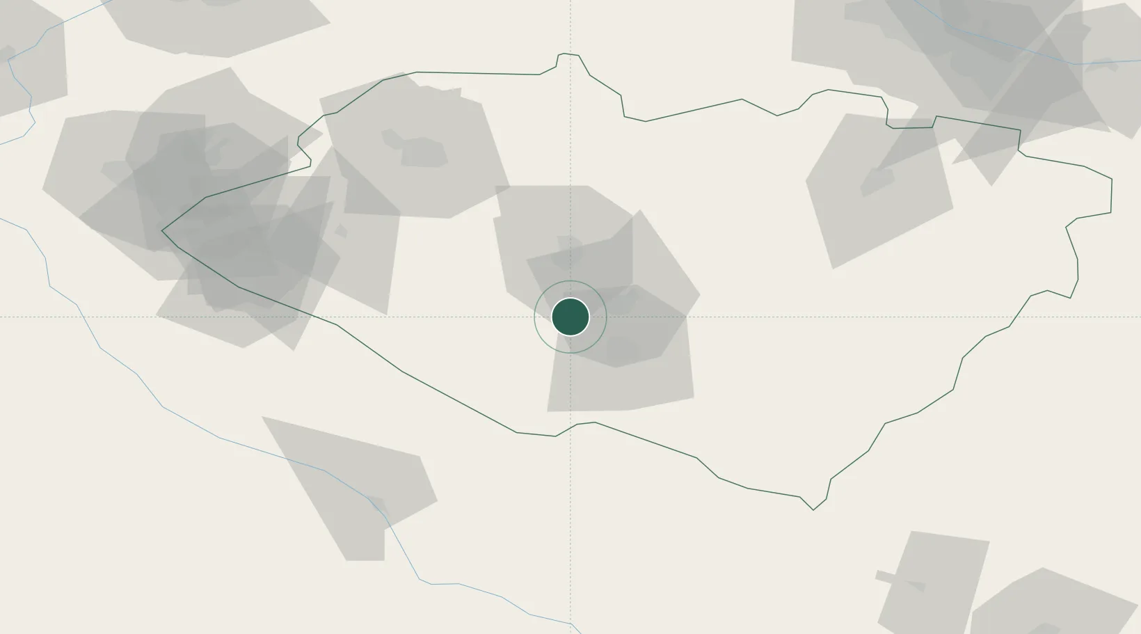
Nearby Logistics Neighbours

Cities
  1. 1Kerkichi100 km
  2. 2Halach102 km
  3. 3Nawoiy167 km
  4. 4Farap199 km
  5. 5Turkmenabat199 km
Nearest neighbours — logibook spatial index (haversine) over the source coordinates
Ports
  1. 1Gwadar1537 km
  2. 2Karachi1545 km
  3. 3Muhamamad Bin Qasim1550 km
  4. 4Jazireh-Ye Hormoz1550 km
  5. 5Bandar Abbas1558 km
Nearest neighbours — logibook spatial index (haversine) over the source coordinates
Airports
  1. 1Karshi Airport18 km
  2. 2Samarkand International Airport156 km
  3. 3Bukhara International Airport169 km
  4. 4Navoi International Airport173 km
  5. 5Türkmenabat International Airport196 km
Nearest neighbours — logibook spatial index (haversine) over the source coordinates
Trade Zones
  1. 1Chirakchi Free Economic Zone79 km
  2. 2Urgut Free Economic Zone151 km
  3. 3Aqina Special Economic Zone164 km
  4. 4Bukhoro-agro Free Economic Zone172 km
  5. 5Navoi Free Industrial Economic Zone176 km
Nearest neighbours — logibook spatial index (haversine) over the source coordinates
DatabookThe Record of Consolidated Knowledge
Uzbekistan beyond logistics?
Browse databook

All Sources

LocationsUN/LOCODE
UN/LOCODE — free
Portsthe NGA World Port Index
Public domain (US gov)
AirportsOurAirports
Public domain
Trade Zonesthe World Bank SEZ database
CC BY 4.0
Trade ZonesOpen Zone Map
CC BY
← Uzbekistan locations