Diversified Zone · Uzbekistan

Chirakchi Free Economic Zone Active
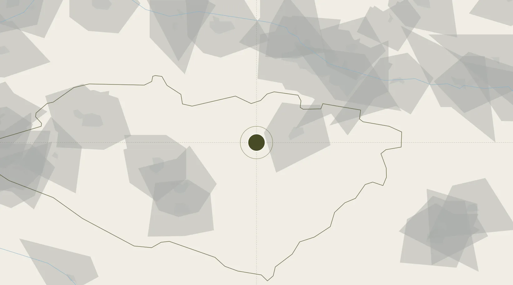
39.0382°, 66.5525°
32 ha
Zone area
1,585.6 km
Nearest port
72.4 km
Nearest airport

Gateway access

Nearest neighbours — logibook spatial index (haversine) over the source coordinates

Zone profile

Zone type
Diversified Zone
Open Zone Map
Region
Kashkadarya
Open Zone Map
Status
Active
Open Zone Map
Management
Public
Open Zone Map
Operator
Directorate of Free Economic Zone"Chirakchi "
Open Zone Map
Legal framework
Presidential Decree of September 13, 2019 No. UP-5825.
Open Zone Map

Location

Location of ozm-4996
Natural Earth 10m (public domain) · Kashkadarya · ozm-4996 · 39.04, 66.55GoogleOSMYandex

Nearby Logistics Neighbours

Ports
  1. 1Karachi1586 km
  2. 2Muhamamad Bin Qasim1589 km
  3. 3Gwadar1597 km
  4. 4Jazireh-Ye Hormoz1625 km
  5. 5Chah Bahar1629 km
Nearest neighbours — logibook spatial index (haversine) over the source coordinates
Airports
  1. 1Karshi Airport72 km
  2. 2Samarkand International Airport82 km
  3. 3Navoi International Airport169 km
  4. 4Zomin Airport193 km
  5. 5Gissar Air Base193 km
Nearest neighbours — logibook spatial index (haversine) over the source coordinates
Cities
  1. 1Karshi79 km
  2. 2Nawoiy156 km
  3. 3Jizzakh162 km
  4. 4Kerkichi175 km
  5. 5Halach181 km
Nearest neighbours — logibook spatial index (haversine) over the source coordinates
Trade Zones
  1. 1Urgut Free Economic Zone71 km
  2. 2Jizzakh Special Industrial Zone169 km
  3. 3Navoi Free Industrial Economic Zone172 km
  4. 4Balik Ishlab Chikaruvchi Special Economic Zone190 km
  5. 5Bukhoro-agro Free Economic Zone200 km
Nearest neighbours — logibook spatial index (haversine) over the source coordinates
DatabookThe Record of Consolidated Knowledge
Uzbekistan beyond logistics?
Browse databook

All Sources

Trade ZonesOpen Zone Map
CC BY
Portsthe NGA World Port Index
Public domain (US gov)
AirportsOurAirports
Public domain
LocationsUN/LOCODE
UN/LOCODE — free
← Uzbekistan trade zones