Transport Functions
Port
Road
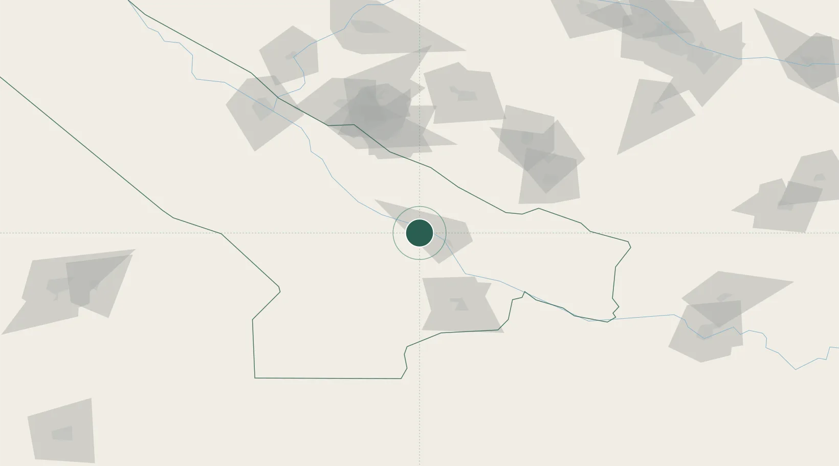
Location
Nearby Logistics Neighbours
Cities
- 1Kerkichi39 km
- 2Karshi102 km
- 3Turkmenabat162 km
- 4Farap166 km
- 5Galkynys198 km
Ports
- 1Jazireh-Ye Hormoz1452 km
- 2Gwadar1459 km
- 3Bandar Abbas1460 km
- 4Bandar-E Shahid Rejaie1471 km
- 5Chah Bahar1479 km
Airports
- 1Karshi Airport113 km
- 2Türkmenabat International Airport150 km
- 3Bukhara International Airport193 km
- 4Navoi International Airport229 km
- 5Termez Airport231 km
Trade Zones
DatabookThe Record of Consolidated Knowledge
Turkmenistan beyond logistics?