Large airport · Afghanistan

Mazar-i-Sharif International AirportOAMS
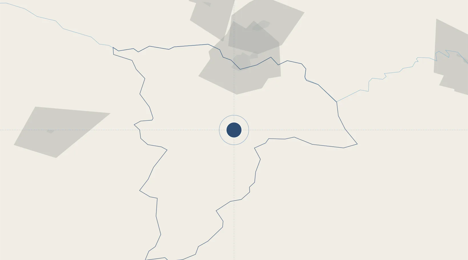
36.7041°, 67.2105°
9,843 ft
Longest runway
1
Runways
1,284 ft
Elevation

Runway & Layout

Mazar-i-Sharif International Airport runway & taxiway layout
Runway & taxiway layout — OpenStreetMap (ODbL) / OurAirports

Radio Frequencies

TWR
132 MHz
CONTROL
121.25 MHz
MAZAR CONTROL
OurAirports

Runways · 1

RunwayDimensions SurfaceTrue headingLit
06R/24L 9,843 × 147ft Asphalt 066°
OurAirports

Airport Specifications

IATA code
MZR
OurAirports
ICAO code
OAMS
OurAirports
Airport class
Large airport
OurAirports
Scheduled service
Yes
OurAirports
Runway surface
Asphalt
OurAirports
Served city
Mazar-i-Sharif
OurAirports

Location

Location of OAMS
Natural Earth 10m (public domain) · Balkh · OAMS · 36.70, 67.21GoogleOSMYandex

Nearby Logistics Neighbours

Airports
  1. 1Termez Airport66 km
  2. 2Kunduz Airport152 km
  3. 3Qurghonteppa International Airport195 km
  4. 4Farkhor Air Base211 km
  5. 5Qara Tepa Heliport213 km
Nearest neighbours — logibook spatial index (haversine) over the source coordinates
Cities
  1. 1Dehdadi21 km
  2. 2Termez57 km
  3. 3Shaartuz102 km
  4. 4Qurghonteppa186 km
  5. 5Kerkichi216 km
Nearest neighbours — logibook spatial index (haversine) over the source coordinates
Ports
  1. 1Karachi1326 km
  2. 2Muhamamad Bin Qasim1328 km
  3. 3Gwadar1369 km
  4. 4Chah Bahar1418 km
  5. 5Jazireh-Ye Hormoz1472 km
Nearest neighbours — logibook spatial index (haversine) over the source coordinates
Trade Zones
  1. 1Mazar-i-Sharif Mazar Special Economic Zone1 km
  2. 2Balkh Special Economic Zone1 km
  3. 3Termez Termiz Free Economic Zone56 km
  4. 4Boysun-pharm Free Economic Zone60 km
  5. 5Kunduz Special Economic Zone151 km
Nearest neighbours — logibook spatial index (haversine) over the source coordinates
DatabookThe Record of Consolidated Knowledge
Afghanistan beyond logistics?
Browse databook

All Sources

AirportsOurAirports
Public domain
Portsthe NGA World Port Index
Public domain (US gov)
LocationsUN/LOCODE
UN/LOCODE — free
Trade Zonesthe World Bank SEZ database
CC BY 4.0
Trade ZonesOpen Zone Map
CC BY
InfrastructureOpenStreetMap
ODbL 1.0
← Afghanistan airports