UN/LOCODE hub · Turkmenistan
TMFAR

Farap

39.1667°, 63.6000°
14,503
Population
3
Transport functions

Transport Functions

Rail
Road
Border Crossing
UN/LOCODE

Hub Profile

Place type
Populated place
GeoNames
Region
Lebap
GeoNames
Population
14,503
GeoNames
Time zone
Asia/Ashgabat
GeoNames
Elevation
191 m
GeoNames

Location

Location of TMFAR
Natural Earth 10m (public domain) · Lebap · TMFAR · 39.17, 63.60GoogleOSMYandex

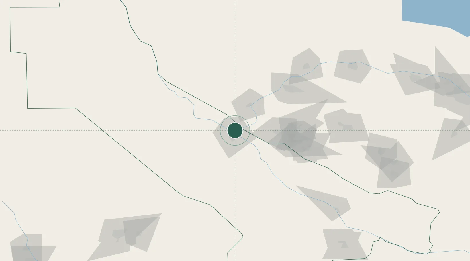
Nearby Logistics Neighbours

Cities
  1. 1Turkmenabat8 km
  2. 2Galkynys37 km
  3. 3Halach166 km
  4. 4Nawoiy183 km
  5. 5Karshi199 km
Nearest neighbours — logibook spatial index (haversine) over the source coordinates
Ports
  1. 1Jazireh-Ye Hormoz1497 km
  2. 2Bandar Abbas1502 km
  3. 3Bandar-E Shahid Rejaie1513 km
  4. 4Khawr Khasab1595 km
  5. 5Bushehr1629 km
Nearest neighbours — logibook spatial index (haversine) over the source coordinates
Airports
  1. 1Türkmenabat International Airport26 km
  2. 2Bukhara International Airport102 km
  3. 3Navoi International Airport171 km
  4. 4Karshi Airport192 km
  5. 5Mary International Airport227 km
Nearest neighbours — logibook spatial index (haversine) over the source coordinates
Trade Zones
  1. 1Bukhoro-agro Free Economic Zone97 km
  2. 2Gijduvon Free Economic Zone136 km
  3. 3Navoi Free Industrial Economic Zone171 km
  4. 4Chirakchi Free Economic Zone255 km
  5. 5Aqina Special Economic Zone260 km
Nearest neighbours — logibook spatial index (haversine) over the source coordinates
DatabookThe Record of Consolidated Knowledge
Turkmenistan beyond logistics?
Browse databook

All Sources

LocationsUN/LOCODE
UN/LOCODE — free
LocationsGeoNames
CC BY 4.0
Portsthe NGA World Port Index
Public domain (US gov)
AirportsOurAirports
Public domain
Trade Zonesthe World Bank SEZ database
CC BY 4.0
Trade ZonesOpen Zone Map
CC BY
← Turkmenistan locations