Transport Functions
Port
Road
Hub Profile
Region
96
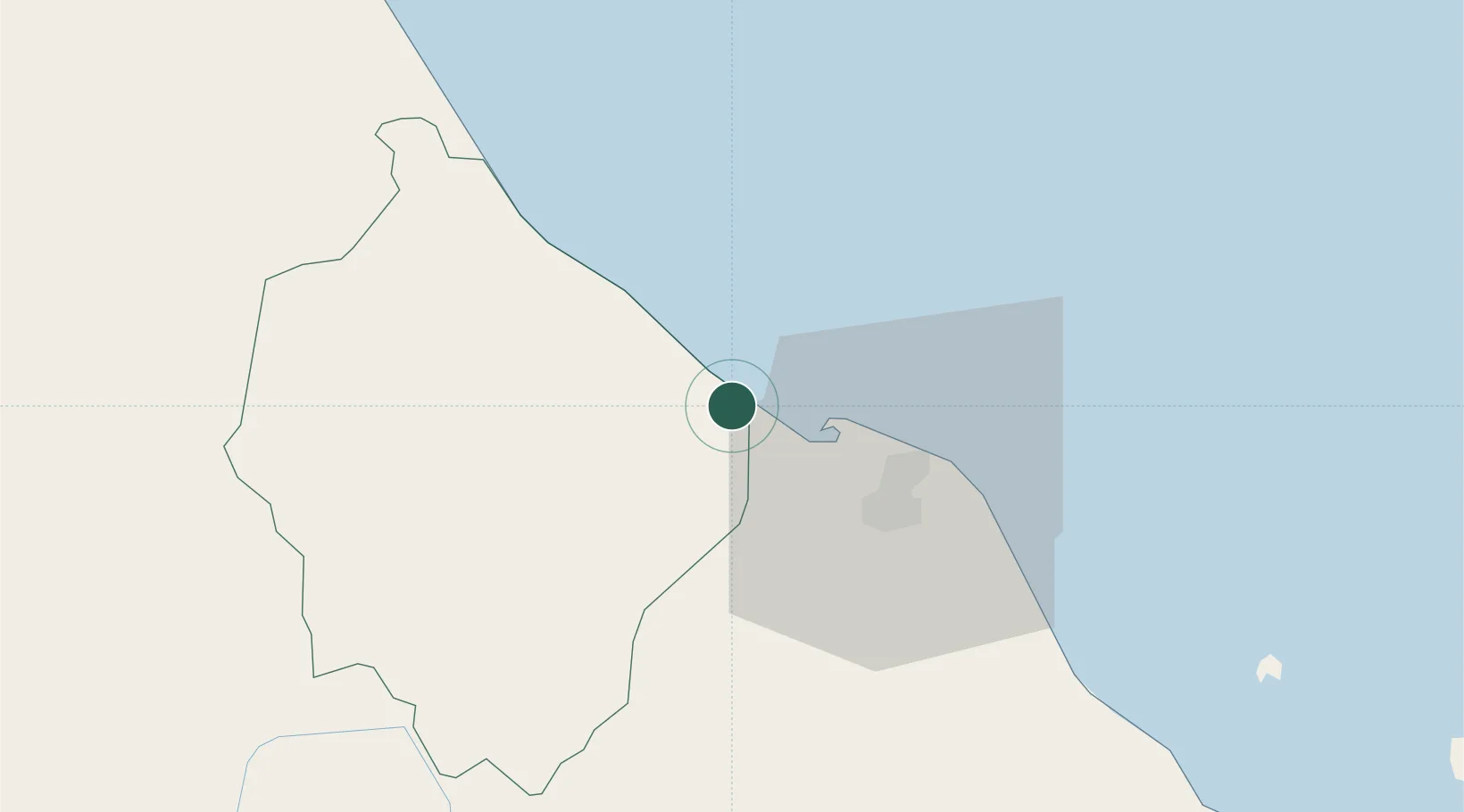
Location
Nearby Logistics Neighbours
Cities
- 1Bangnara31 km
- 2Narathiwat32 km
- 3Tanah Merah51 km
- 4Kuala Besut74 km
- 5Jertih75 km
Ports
- 1Pattani114 km
- 2Kuala Trengganu156 km
- 3Songkhla Harbor194 km
- 4Pulau Pinang210 km
- 5Port Langkawi253 km
Airports
- 1Sultan Ismail Petra Airport28 km
- 2Narathiwat Airport45 km
- 3Betong International Airport112 km
- 4Pattani Airport116 km
- 5Sultan Mahmud Airport151 km
Trade Zones
DatabookThe Record of Consolidated Knowledge
Thailand beyond logistics?