Seaport · Thailand

PattaniTHPTN

6.9500°, 101.3000°
1.8 m
Channel depth
Pattani is also a UN/LOCODE logistics hub →

Channel & Berth Profile

SEA LEVEL (CD)CHANNEL BEDChannel · 1.8 mCargo pier · 4.9 mAnchorage · 9.4 m
NGA World Port Index

Pilotage, Tugs & Services

Potable waterYES
MedicalYES
NGA World Port Index

Facilities & Capabilities

Container
Ro-Ro
Liquid bulk
Dry bulk
Oil terminal
Break bulk
Dry dock
RepairsNO
Bunkering
Rail linkYES
Dangerous cargo
ISPS security
NGA World Port Index

Harbour Specifications
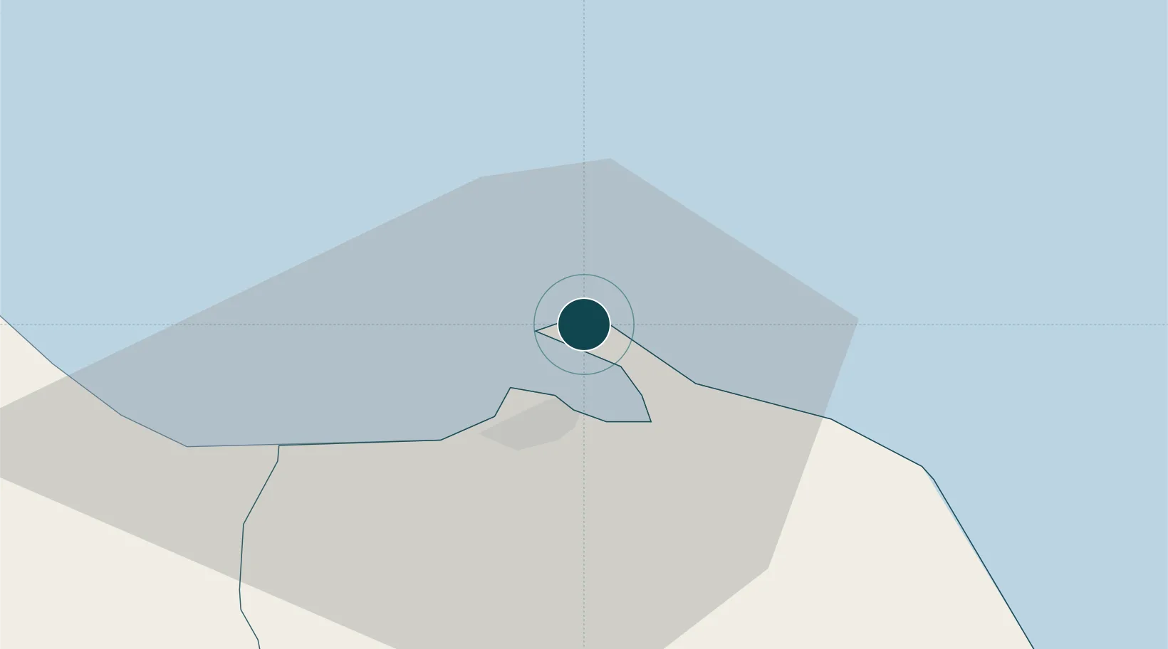
Harbour size
Small
NGA World Port Index
Harbour type
Coastal (Natural)
NGA World Port Index
Shelter
Fair
NGA World Port Index
Water body
Gulf of Thailand; South China Sea; North Pacific Ocean
NGA World Port Index

Location

Location of THPTN
Natural Earth 10m (public domain) · Pattani · THPTN · 6.95, 101.30GoogleOSMYandex

Nearby Logistics Neighbours

Ports
  1. 1Songkhla Harbor85 km
  2. 2Port Langkawi179 km
  3. 3Pulau Pinang200 km
  4. 4Kantang Harbor203 km
  5. 5Erawan Terminal239 km
Nearest neighbours — logibook spatial index (haversine) over the source coordinates
Cities
  1. 1Bangnara82 km
  2. 2Narathiwat82 km
  3. 3Ban Prakop Customs House84 km
  4. 4Songkhla87 km
  5. 5Sadao Customs House107 km
Nearest neighbours — logibook spatial index (haversine) over the source coordinates
Airports
  1. 1Pattani Airport24 km
  2. 2Narathiwat Airport68 km
  3. 3Songkhla Airport81 km
  4. 4Hat Yai International Airport100 km
  5. 5Betong International Airport130 km
Nearest neighbours — logibook spatial index (haversine) over the source coordinates
DatabookThe Record of Consolidated Knowledge
Thailand beyond logistics?
Browse databook

All Sources

Portsthe NGA World Port Index
Public domain (US gov)
AirportsOurAirports
Public domain
LocationsUN/LOCODE
UN/LOCODE — free
Trade Zonesthe World Bank SEZ database
CC BY 4.0
Trade ZonesOpen Zone Map
CC BY
← Thailand ports