Free Trade Zone · Malaysia

Duty Free Area At Pengkalan Kubor Active
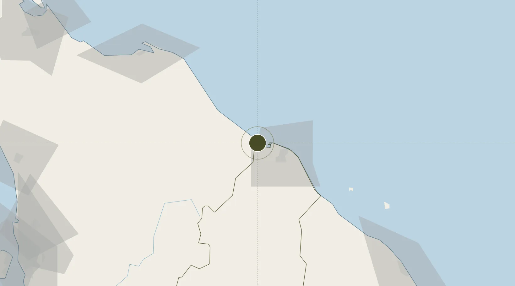
6.2321°, 102.0912°
2 ha
Zone area
118.4 km
Nearest port
23.5 km
Nearest airport

Gateway access

Nearest neighbours — logibook spatial index (haversine) over the source coordinates

Zone profile

Zone type
Free Trade Zone
Open Zone Map
Region
Kelantan
Open Zone Map
Status
Active
Open Zone Map
Management
Public
Open Zone Map
Operator
Tumpat District Council
Open Zone Map
Legal framework
Section 65D of the Customs Act of 1967.
Open Zone Map

Location

Location of ozm-2787
Natural Earth 10m (public domain) · Kelantan · ozm-2787 · 6.23, 102.09GoogleOSMYandex

Nearby Logistics Neighbours

Ports
  1. 1Pattani118 km
  2. 2Kuala Trengganu151 km
  3. 3Songkhla Harbor199 km
  4. 4Pulau Pinang213 km
  5. 5Port Langkawi258 km
Nearest neighbours — logibook spatial index (haversine) over the source coordinates
Airports
  1. 1Sultan Ismail Petra Airport24 km
  2. 2Narathiwat Airport50 km
  3. 3Betong International Airport115 km
  4. 4Pattani Airport120 km
  5. 5Sultan Mahmud Airport147 km
Nearest neighbours — logibook spatial index (haversine) over the source coordinates
Cities
  1. 1Tak Bai Customs House5 km
  2. 2Bangnara36 km
  3. 3Narathiwat37 km
  4. 4Tanah Merah48 km
  5. 5Kuala Besut69 km
Nearest neighbours — logibook spatial index (haversine) over the source coordinates
Trade Zones
  1. 1Pengkalan Kubor Free Zone0 km
  2. 2East Coast Economic Region21 km
  3. 3Rantau Panjang Free Commercial Zone27 km
  4. 4Narathiwat Special Economic Zone102 km
  5. 5Luckchai Rubber City Industrial Estate118 km
Nearest neighbours — logibook spatial index (haversine) over the source coordinates
DatabookThe Record of Consolidated Knowledge
Malaysia beyond logistics?
Browse databook

All Sources

Trade ZonesOpen Zone Map
CC BY
Portsthe NGA World Port Index
Public domain (US gov)
AirportsOurAirports
Public domain
LocationsUN/LOCODE
UN/LOCODE — free
← Malaysia trade zones