Transport Functions
Port
Hub Profile
Place type
Regional capital
Region
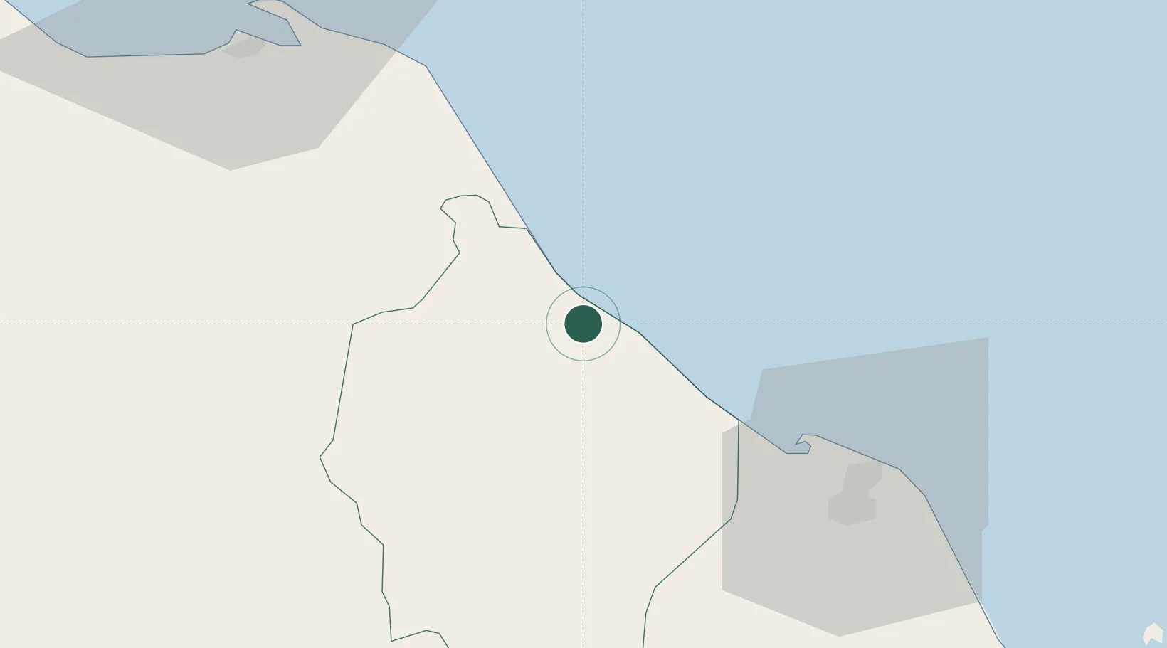
Narathiwat
Population
47,771
Time zone
Asia/Bangkok
Elevation
9 m
Location
Nearby Logistics Neighbours
Cities
- 1Bangnara3 km
- 2Tak Bai Customs House32 km
- 3Tanah Merah77 km
- 4Pattani80 km
- 5Kuala Besut105 km
Ports
- 1Pattani82 km
- 2Songkhla Harbor163 km
- 3Kuala Trengganu188 km
- 4Pulau Pinang197 km
- 5Port Langkawi227 km
Airports
- 1Narathiwat Airport14 km
- 2Sultan Ismail Petra Airport60 km
- 3Pattani Airport84 km
- 4Betong International Airport101 km
- 5Songkhla Airport159 km
Trade Zones
DatabookThe Record of Consolidated Knowledge
Thailand beyond logistics?