Medium airport · Malaysia

Sultan Ismail Petra AirportWMKC
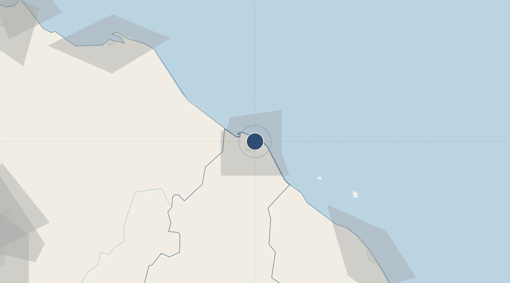
6.1669°, 102.2930°
7,874 ft
Longest runway
1
Runways
16 ft
Elevation

Runway & Layout

Sultan Ismail Petra Airport runway & taxiway layout
Runway & taxiway layout — OpenStreetMap (ODbL) / OurAirports

Radio Frequencies

TWR
122.5 MHz
KOTA BHARU TWR
GND
121.6 MHz
KOTA BHARU GND
OurAirports

Navaids

KB NDB Kota Bharu 240 kHz
VKB VOR-DME Kota Bharu 112.30 MHz
OurAirports

Runways · 1

RunwayDimensions SurfaceTrue headingLit
10/28 7,874 × 148ft Asphalt 100°
OurAirports

Airport Specifications

IATA code
KBR
OurAirports
ICAO code
WMKC
OurAirports
Airport class
Medium airport
OurAirports
Scheduled service
Yes
OurAirports
Runway surface
Asphalt
OurAirports
Served city
Kota Baharu
OurAirports

Location

Location of WMKC
Natural Earth 10m (public domain) · Kelantan · WMKC · 6.17, 102.29GoogleOSMYandex

Nearby Logistics Neighbours

Airports
  1. 1Narathiwat Airport72 km
  2. 2Sultan Mahmud Airport125 km
  3. 3Betong International Airport133 km
  4. 4Pattani Airport143 km
  5. 5Sultan Abdul Halim Airport210 km
Nearest neighbours — logibook spatial index (haversine) over the source coordinates
Cities
  1. 1Tak Bai Customs House28 km
  2. 2Tanah Merah44 km
  3. 3Kuala Besut48 km
  4. 4Jertih52 km
  5. 5Bangnara59 km
Nearest neighbours — logibook spatial index (haversine) over the source coordinates
Ports
  1. 1Kuala Trengganu130 km
  2. 2Pattani140 km
  3. 3Songkhla Harbor222 km
  4. 4Pulau Pinang231 km
  5. 5Kemaman Harbor250 km
Nearest neighbours — logibook spatial index (haversine) over the source coordinates
Trade Zones
  1. 1East Coast Economic Region7 km
  2. 2Duty Free Area At Pengkalan Kubor24 km
  3. 3Pengkalan Kubor Free Zone24 km
  4. 4Rantau Panjang Free Commercial Zone39 km
  5. 5Narathiwat Special Economic Zone124 km
Nearest neighbours — logibook spatial index (haversine) over the source coordinates
DatabookThe Record of Consolidated Knowledge
Malaysia beyond logistics?
Browse databook

All Sources

AirportsOurAirports
Public domain
Portsthe NGA World Port Index
Public domain (US gov)
LocationsUN/LOCODE
UN/LOCODE — free
Trade Zonesthe World Bank SEZ database
CC BY 4.0
Trade ZonesOpen Zone Map
CC BY
InfrastructureOpenStreetMap
ODbL 1.0
← Malaysia airports