Transport Functions
Multimodal
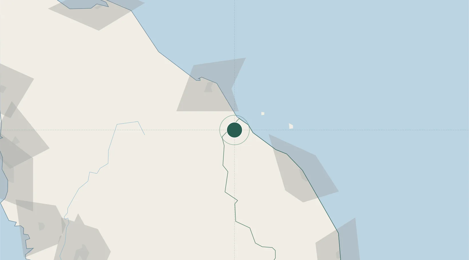
Hub Profile
Place type
Populated place
Region
Terengganu
Population
13,526
Time zone
Asia/Kuala_Lumpur
Elevation
16 m
Location
Nearby Logistics Neighbours
Cities
- 1Kuala Besut12 km
- 2Bahau29 km
- 3Tanah Merah41 km
- 4Kuala Krai43 km
- 5Tak Bai Customs House75 km
Ports
- 1Kuala Trengganu83 km
- 2Pattani188 km
- 3Kemaman Harbor198 km
- 4Kuantan New Port224 km
- 5Pulau Pinang241 km
Airports
- 1Sultan Ismail Petra Airport52 km
- 2Sultan Mahmud Airport78 km
- 3Narathiwat Airport120 km
- 4Betong International Airport149 km
- 5Kerteh Airport170 km
Trade Zones
DatabookThe Record of Consolidated Knowledge
Malaysia beyond logistics?