Channel & Berth Profile
Pilotage, Tugs & Services
Pilotage compulsoryYES
Pilotage availableYES
Tug assistanceNO
Salvage tugsNO
Potable waterYES
MedicalYES
Garbage disposalNO
Facilities & Capabilities
Container—
Ro-Ro—
Liquid bulk—
Dry bulk—
Oil terminal—
Break bulk—
Dry dock—
Repairs—
Bunkering—
Rail link—
Dangerous cargo—
ISPS security—
Harbour Specifications
Harbour size
Very Small
Harbour type
Open Roadstead
Shelter
Fair
Water body
Strait of Malacca; Indian Ocean
Tidal range
3 m
Pilotage
Yes
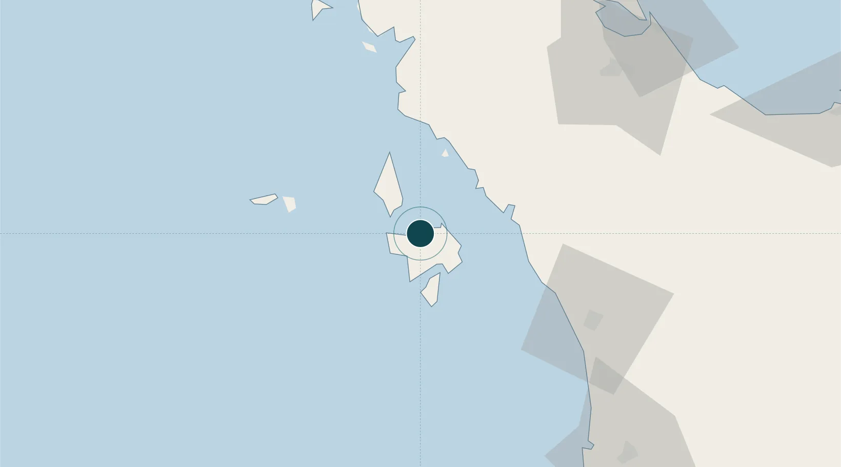
Location
Nearby Logistics Neighbours
Ports
- 1Kantang Harbor111 km
- 2Songkhla Harbor125 km
- 3Pulau Pinang130 km
- 4Pattani179 km
- 5Krabi204 km
Cities
- 1Tanjung Lembung17 km
- 2Satun39 km
- 3Pakbara49 km
- 4Bukit Keteri55 km
- 5Padang Besar, Thailand65 km
Airports
- 1Langkawi International Airport12 km
- 2Sultan Abdul Halim Airport75 km
- 3Hat Yai International Airport89 km
- 4Trang Airport121 km
- 5Songkhla Airport125 km
DatabookThe Record of Consolidated Knowledge
Malaysia beyond logistics?