Diversified Zone · Thailand
Narathiwat Special Economic Zone Under Development
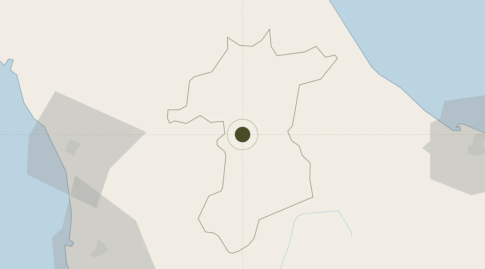
6.1843°, 101.1717°
23,517 ha
Zone area
86.3 km
Nearest port
43.9 km
Nearest airport
Gateway access
Zone profile
Zone type
Diversified Zone
Region
Yala
Status
Under Development
Management
Public
Operator
Industrial Estate Authority of Thailand (I-EA-T)
Legal framework
Industrial Estate Authority of Thailand Act, B.E. 2522 (1979); Board of Investment Announcement No. Sor 1/2550 Bonded Warehouse Activity for Free Trade Zone and Free Zone Announcement of the Board of Investment No. 4/2557 Investment Promotion in Special E
Location
Nearby Logistics Neighbours
Ports
- 1Pattani86 km
- 2Pulau Pinang125 km
- 3Songkhla Harbor132 km
- 4Port Langkawi158 km
- 5Lumut225 km
Airports
- 1Betong International Airport44 km
- 2Pattani Airport67 km
- 3Narathiwat Airport73 km
- 4Sultan Abdul Halim Airport86 km
- 5RMAF Butterworth Air Base118 km
Cities
- 1Ban Prakop Customs House59 km
- 2Narathiwat76 km
- 3Bangnara78 km
- 4Pattani78 km
- 5Kelang Baharu86 km
DatabookThe Record of Consolidated Knowledge
Thailand beyond logistics?