Transport Functions
Port
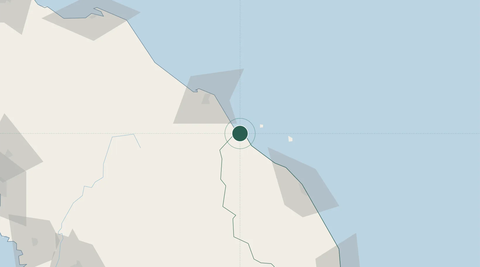
Hub Profile
Place type
Populated place
Region
Terengganu
Population
2,400
Time zone
Asia/Kuala_Lumpur
Elevation
11 m
Location
Nearby Logistics Neighbours
Cities
- 1Jertih12 km
- 2Bahau41 km
- 3Tanah Merah48 km
- 4Kuala Krai54 km
- 5Tak Bai Customs House74 km
Ports
- 1Kuala Trengganu83 km
- 2Pattani187 km
- 3Kemaman Harbor202 km
- 4Kuantan New Port229 km
- 5Pulau Pinang250 km
Airports
- 1Sultan Ismail Petra Airport48 km
- 2Sultan Mahmud Airport78 km
- 3Narathiwat Airport119 km
- 4Betong International Airport157 km
- 5Kerteh Airport173 km
Trade Zones
DatabookThe Record of Consolidated Knowledge
Malaysia beyond logistics?