Export Processing Zone · Malaysia

Rantau Panjang Free Commercial Zone Under Development
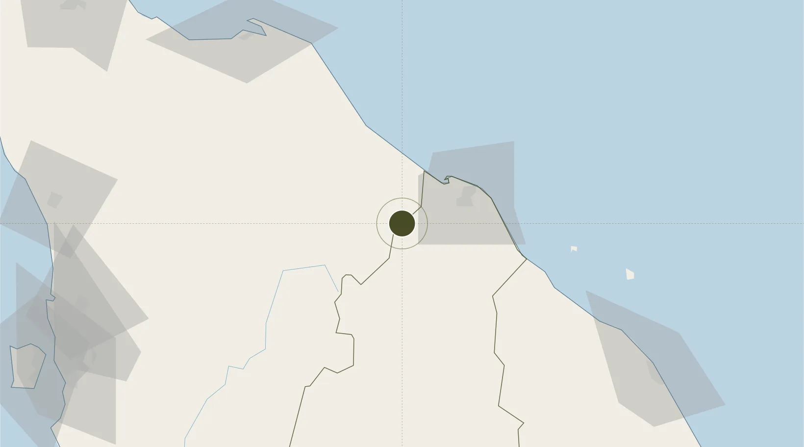
6.0176°, 101.9724°
263 ha
Zone area
127.5 km
Nearest port
39.1 km
Nearest airport

Gateway access

Nearest neighbours — logibook spatial index (haversine) over the source coordinates

Zone profile

Zone type
Export Processing Zone
Open Zone Map
Region
Kelantan
Open Zone Map
Status
Under Development
Open Zone Map
Management
Public
Open Zone Map
Operator
Pasir Mas District Council
Open Zone Map
Legal framework
Free Zones Act of 1990 (Act 438)
Open Zone Map

Location

Location of ozm-2780
Natural Earth 10m (public domain) · Kelantan · ozm-2780 · 6.02, 101.97GoogleOSMYandex

Nearby Logistics Neighbours

Ports
  1. 1Pattani128 km
  2. 2Kuala Trengganu148 km
  3. 3Pulau Pinang192 km
  4. 4Songkhla Harbor203 km
  5. 5Teluk Anson246 km
Nearest neighbours — logibook spatial index (haversine) over the source coordinates
Airports
  1. 1Sultan Ismail Petra Airport39 km
  2. 2Narathiwat Airport61 km
  3. 3Betong International Airport94 km
  4. 4Pattani Airport124 km
  5. 5Sultan Mahmud Airport144 km
Nearest neighbours — logibook spatial index (haversine) over the source coordinates
Cities
  1. 1Tak Bai Customs House27 km
  2. 2Tanah Merah30 km
  3. 3Narathiwat48 km
  4. 4Bangnara49 km
  5. 5Kuala Krai59 km
Nearest neighbours — logibook spatial index (haversine) over the source coordinates
Trade Zones
  1. 1Pengkalan Kubor Free Zone27 km
  2. 2Duty Free Area At Pengkalan Kubor27 km
  3. 3East Coast Economic Region32 km
  4. 4Narathiwat Special Economic Zone90 km
  5. 5Luckchai Rubber City Industrial Estate95 km
Nearest neighbours — logibook spatial index (haversine) over the source coordinates
DatabookThe Record of Consolidated Knowledge
Malaysia beyond logistics?
Browse databook

All Sources

Trade ZonesOpen Zone Map
CC BY
Portsthe NGA World Port Index
Public domain (US gov)
AirportsOurAirports
Public domain
LocationsUN/LOCODE
UN/LOCODE — free
← Malaysia trade zones