Transport Functions
Rail
Road
Hub Profile
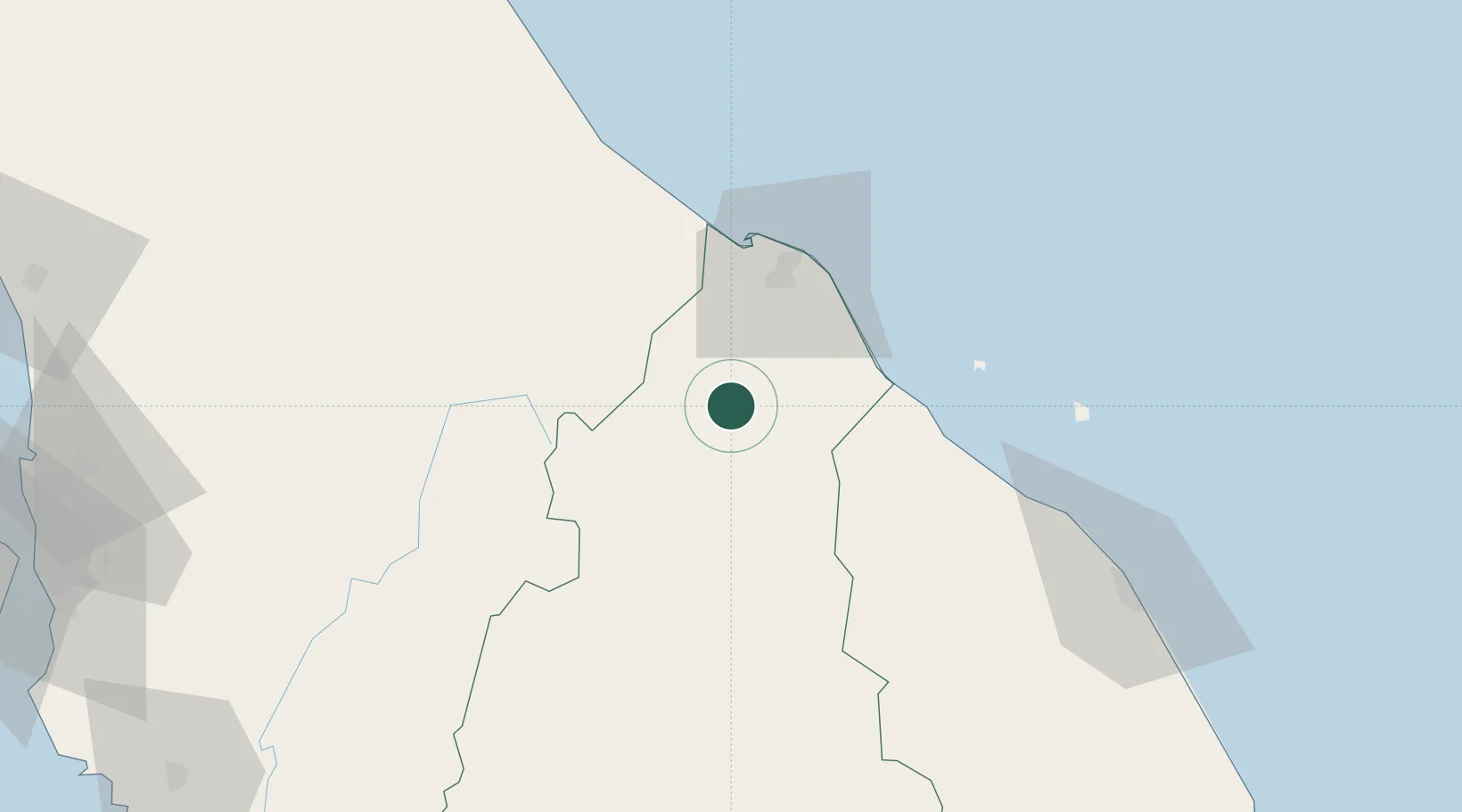
Place type
Populated place
Region
Kelantan
Population
29,116
Time zone
Asia/Kuala_Lumpur
Elevation
19 m
Location
Nearby Logistics Neighbours
Cities
- 1Kuala Krai30 km
- 2Jertih41 km
- 3Bahau46 km
- 4Kuala Besut48 km
- 5Tak Bai Customs House51 km
Ports
- 1Kuala Trengganu122 km
- 2Pattani158 km
- 3Pulau Pinang202 km
- 4Kemaman Harbor227 km
- 5Songkhla Harbor233 km
Airports
- 1Sultan Ismail Petra Airport44 km
- 2Narathiwat Airport91 km
- 3Betong International Airport109 km
- 4Sultan Mahmud Airport117 km
- 5Pattani Airport154 km
Trade Zones
DatabookThe Record of Consolidated Knowledge
Malaysia beyond logistics?