Medium airport · Thailand
Pattani AirportVTSK
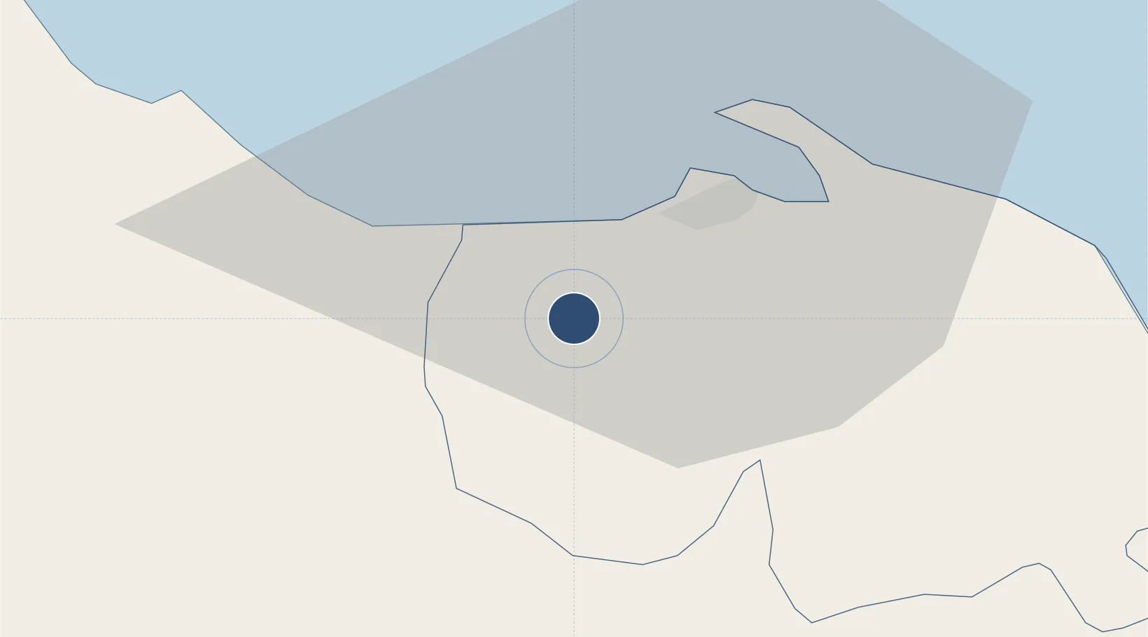
6.7855°, 101.1540°
4,593 ft
Longest runway
1
Runways
8 ft
Elevation
Runway & Layout

Radio Frequencies
TWR
119.3 MHz
APP
125.55 MHz
Navaids
PT NDB Pattani 201 kHz
Runways · 1
| Runway | Dimensions | Surface | True heading | Lit |
|---|---|---|---|---|
| 08/26 | 4,593 × 131ft | Asphalt | 086° | — |
Airport Specifications
IATA code
PAN
ICAO code
VTSK
Airport class
Medium airport
Scheduled service
No
Runway surface
Asphalt
Location
Nearby Logistics Neighbours
Airports
- 1Narathiwat Airport71 km
- 2Songkhla Airport75 km
- 3Hat Yai International Airport86 km
- 4Sultan Abdul Halim Airport107 km
- 5Betong International Airport111 km
Cities
- 1Pattani17 km
- 2Ban Prakop Customs House60 km
- 3Songkhla80 km
- 4Narathiwat84 km
- 5Bangnara85 km
Ports
- 1Pattani24 km
- 2Songkhla Harbor79 km
- 3Port Langkawi158 km
- 4Pulau Pinang176 km
- 5Kantang Harbor193 km
DatabookThe Record of Consolidated Knowledge
Thailand beyond logistics?