Medium airport · Thailand

Narathiwat AirportVTSC
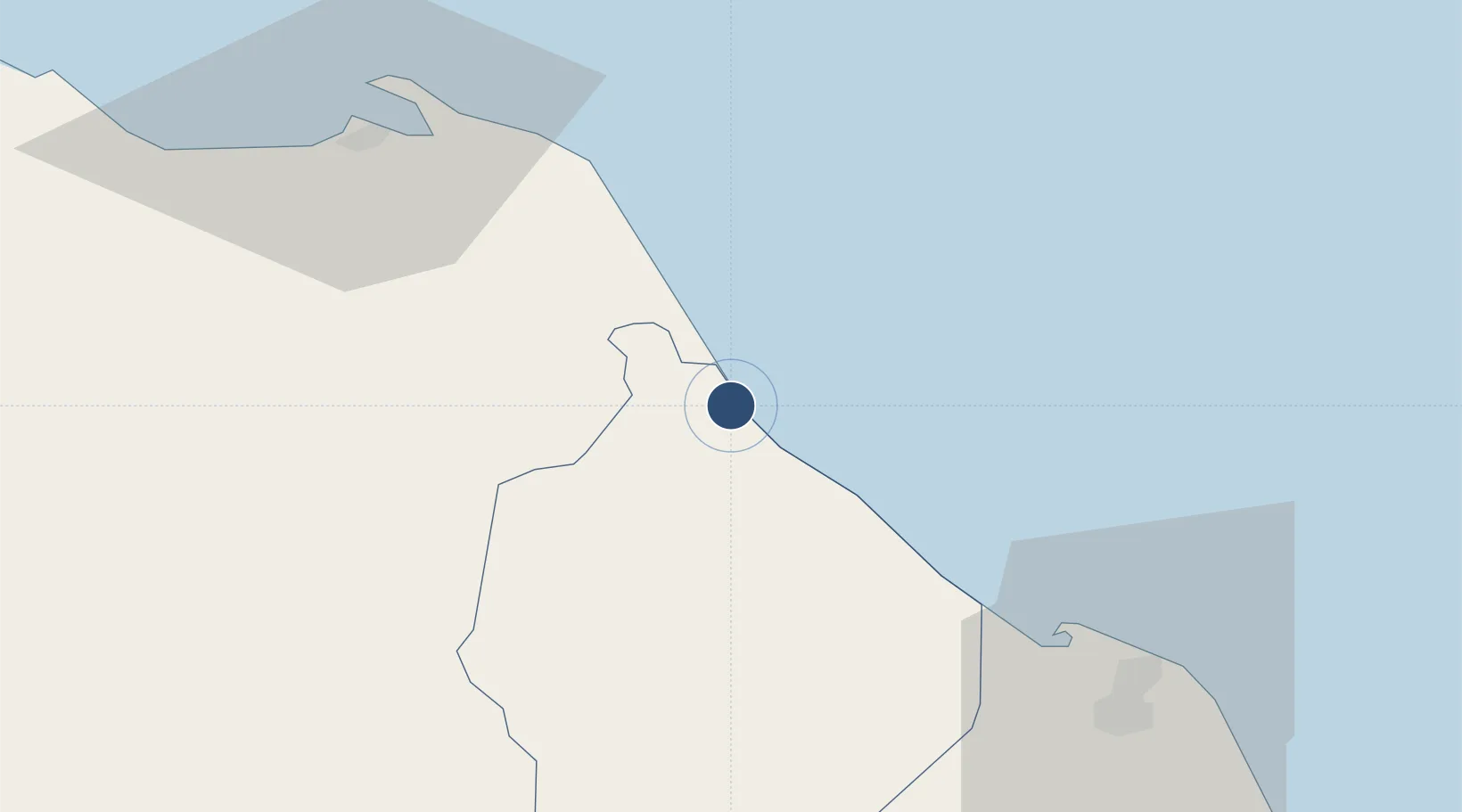
6.5199°, 101.7430°
8,202 ft
Longest runway
1
Runways
16 ft
Elevation

Runway & Layout

Narathiwat Airport runway & taxiway layout
Runway & taxiway layout — OpenStreetMap (ODbL) / OurAirports

Radio Frequencies

ATIS
38.3 MHz
TWR
122.7 MHz
APP
125.55 MHz
RDO
657.7 MHz
OurAirports

Navaids

NT NDB Narathiwat 383 kHz
NTW VOR-DME Narathiwat 116.30 MHz
OurAirports

Runways · 1

RunwayDimensions SurfaceTrue headingLit
02/20 8,202 × 148ft Asphalt 023°
OurAirports

Airport Specifications

IATA code
NAW
OurAirports
ICAO code
VTSC
OurAirports
Airport class
Medium airport
OurAirports
Scheduled service
Yes
OurAirports
Runway surface
Asphalt
OurAirports

Location

Location of VTSC
Natural Earth 10m (public domain) · Narathiwat · VTSC · 6.52, 101.74GoogleOSMYandex

Nearby Logistics Neighbours

Airports
  1. 1Pattani Airport71 km
  2. 2Sultan Ismail Petra Airport72 km
  3. 3Betong International Airport104 km
  4. 4Songkhla Airport146 km
  5. 5Sultan Abdul Halim Airport153 km
Nearest neighbours — logibook spatial index (haversine) over the source coordinates
Cities
  1. 1Bangnara14 km
  2. 2Narathiwat14 km
  3. 3Tak Bai Customs House45 km
  4. 4Pattani66 km
  5. 5Tanah Merah91 km
Nearest neighbours — logibook spatial index (haversine) over the source coordinates
Ports
  1. 1Pattani68 km
  2. 2Songkhla Harbor150 km
  3. 3Pulau Pinang197 km
  4. 4Kuala Trengganu201 km
  5. 5Port Langkawi219 km
Nearest neighbours — logibook spatial index (haversine) over the source coordinates
Trade Zones
  1. 1Pengkalan Kubor Free Zone50 km
  2. 2Duty Free Area At Pengkalan Kubor50 km
  3. 3Rantau Panjang Free Commercial Zone61 km
  4. 4East Coast Economic Region71 km
  5. 5Narathiwat Special Economic Zone73 km
Nearest neighbours — logibook spatial index (haversine) over the source coordinates
DatabookThe Record of Consolidated Knowledge
Thailand beyond logistics?
Browse databook

All Sources

AirportsOurAirports
Public domain
Portsthe NGA World Port Index
Public domain (US gov)
LocationsUN/LOCODE
UN/LOCODE — free
Trade Zonesthe World Bank SEZ database
CC BY 4.0
Trade ZonesOpen Zone Map
CC BY
InfrastructureOpenStreetMap
ODbL 1.0
← Thailand airports